National Reference Stations
National Reference Stations
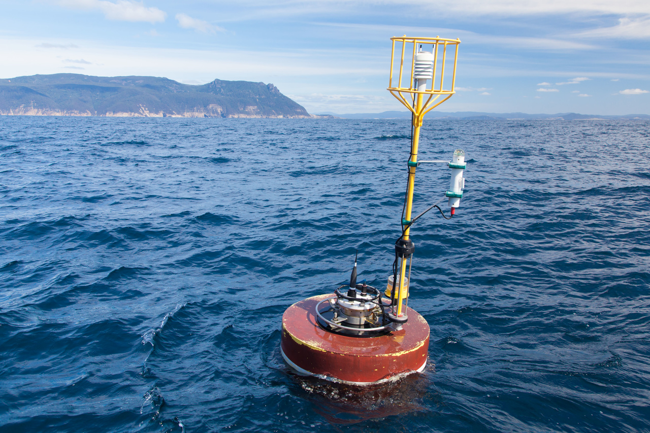
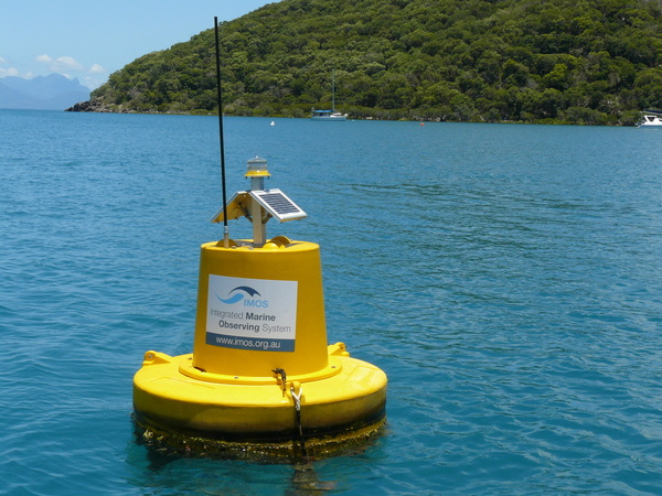
National Reference Stations provide fundamental baseline information used to understand how large-scale, long-term climate change and variability is affecting Australian coastal seas. In addition to the continuous monitoring of physical oceanic properties of the moorings, these sensor-based observations are combined with vessel-based biogeochemical sampling on a monthly basis (for most locations).

Data
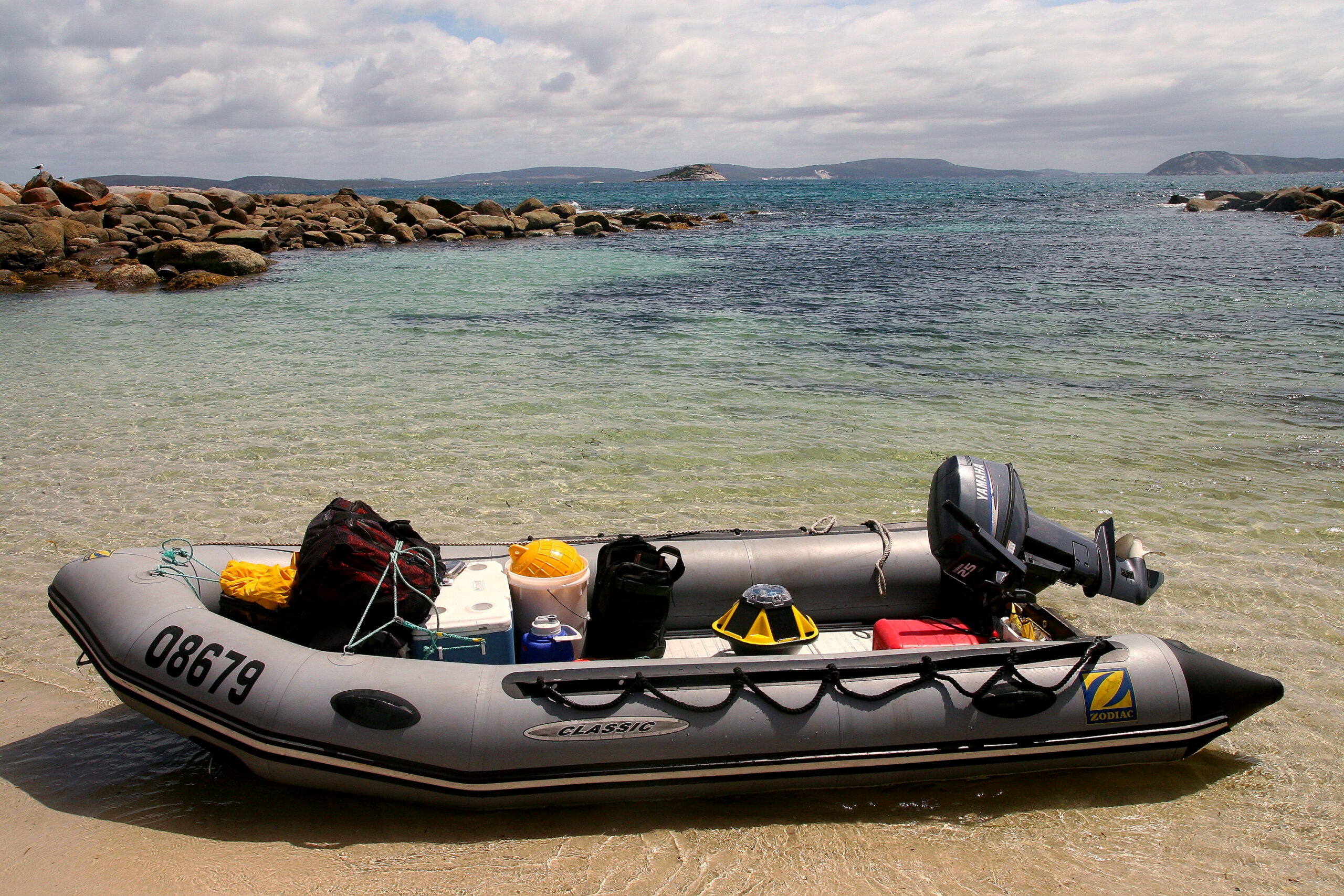
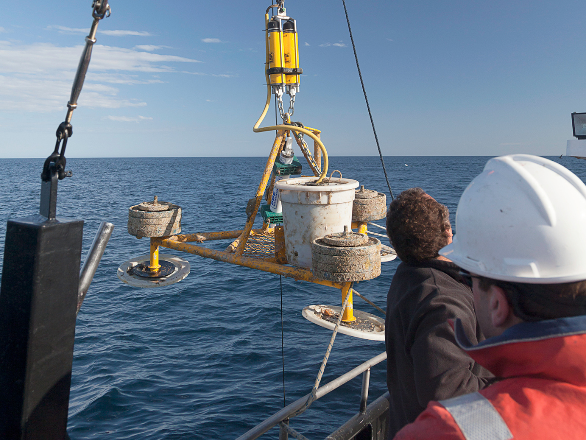
Deployments
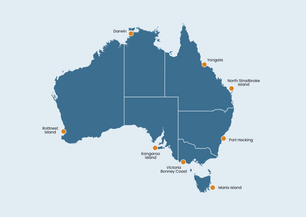
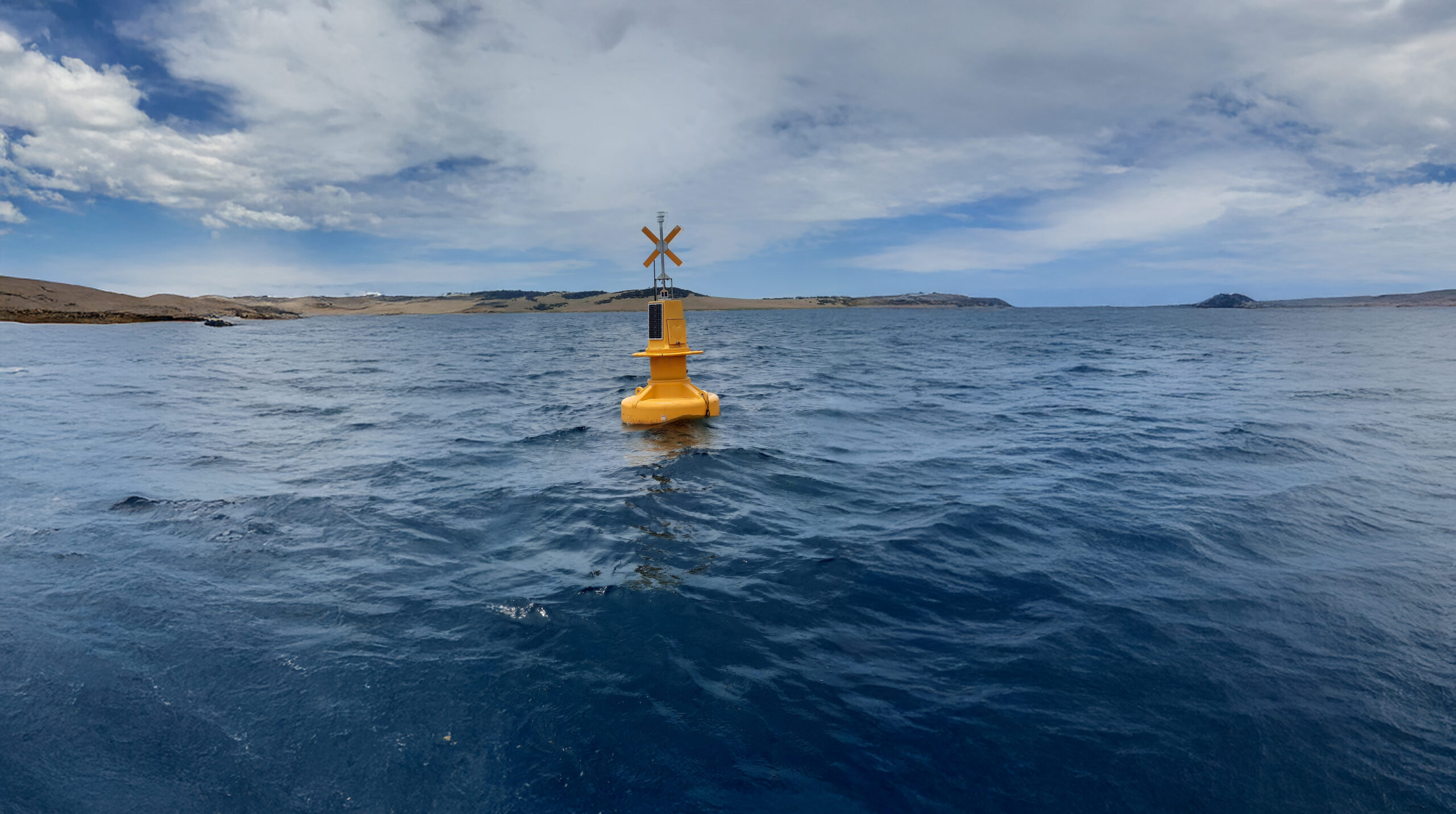
A current network of eight National Reference Stations are currently in operation in Australian coastal waters, of which three are long-term locations, Maria Island (Tasmania), Port Hacking (New South Wales) and Rottnest Island (Western Australia). The remaining four National Reference stations, including Darwin (Northern Territory), Yongala (Great Barrier Reef), Kangaroo Island (South Australia), North Stradbroke Island (Queensland), and Bonney Coast (Victoria) are newer additions to the network of National Reference Stations, increasing the ability to monitor Australian coastal waters.


Useful information
Operating institution


Acknowledging IMOS
Users of IMOS data are required to clearly acknowledge the source material by including the following statement:
Australia’s Integrated Marine Observing System (IMOS) is enabled by the National Collaborative Research Infrastructure Strategy (NCRIS). It is operated by a consortium of institutions as an unincorporated joint venture, with the University of Tasmania as Lead Agent.