National Mooring Network
National Mooring Network
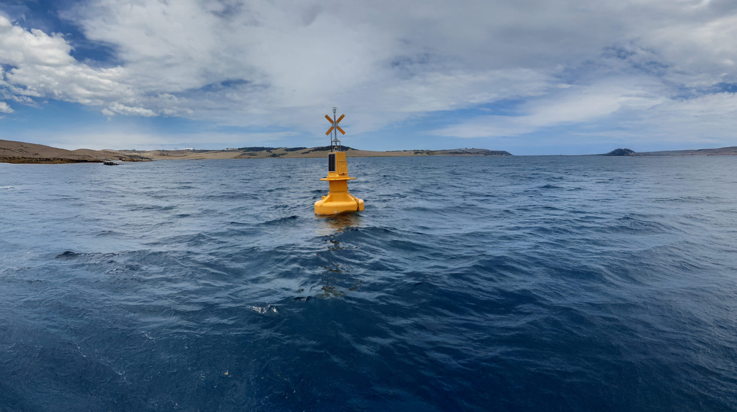
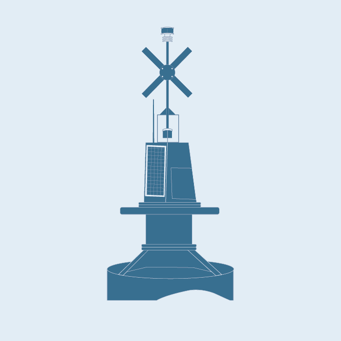
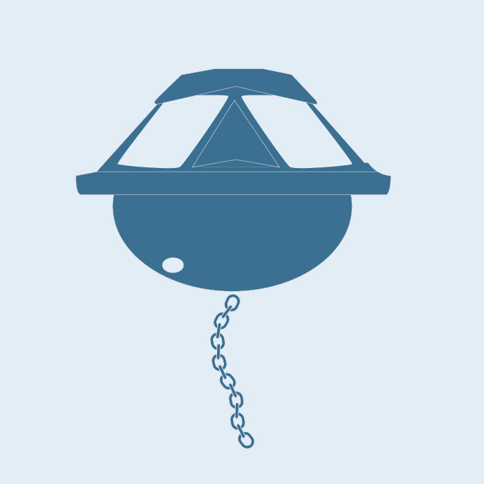
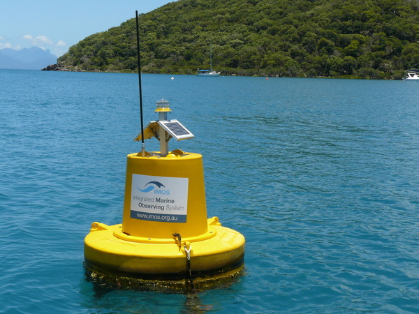
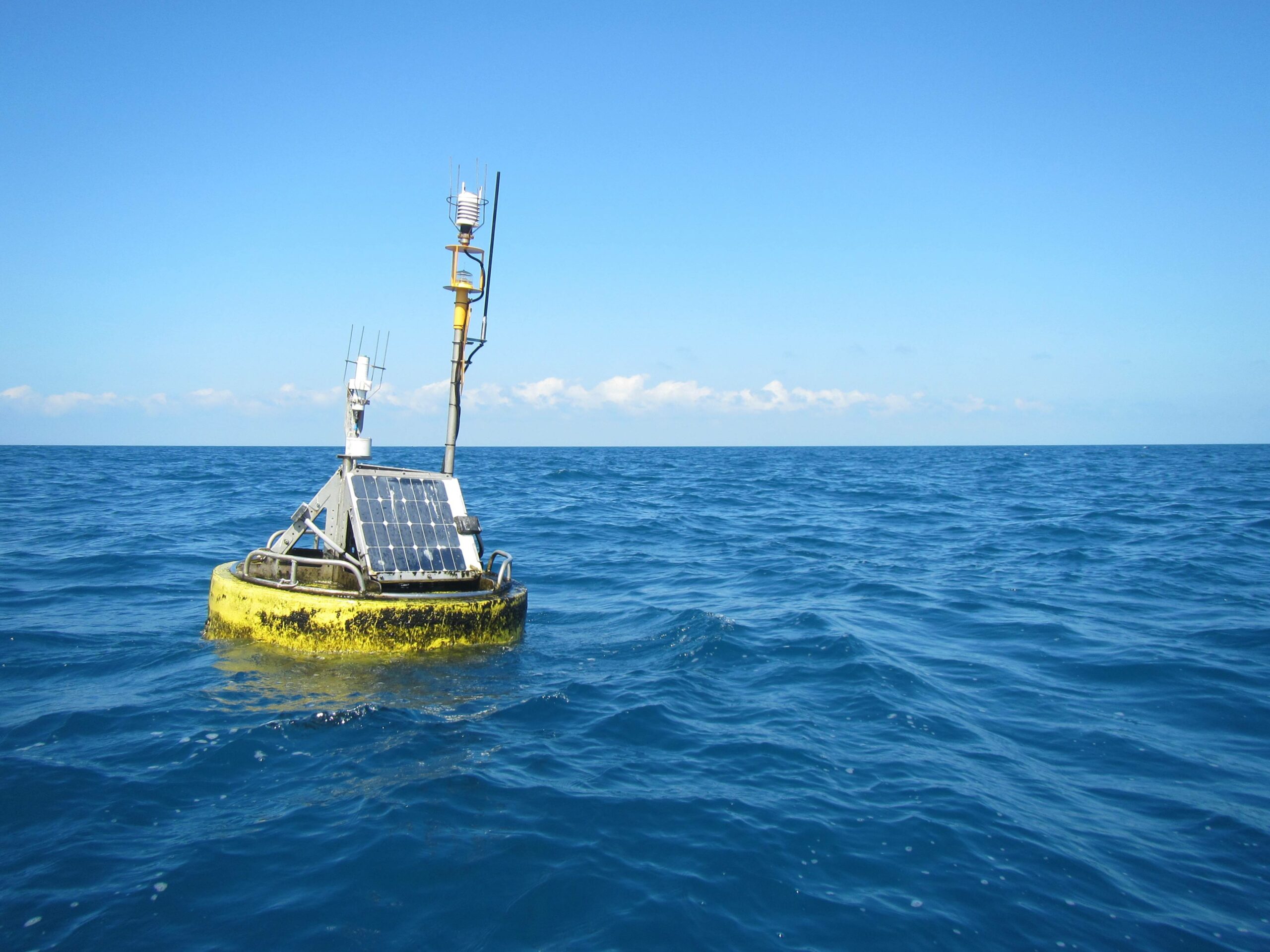
The National Mooring Network is a collection of mooring arrays strategically positioned in Australian coastal waters. The National Mooring Network measures physical and biological parameters, and includes regional arrays of shelf moorings, acidification moorings, acoustic observatories and a network of National Reference Stations that include additional vessel-based sampling.
 Emma Sommerville, IMOS
Locations
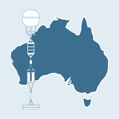
Currently eight National Reference Stations are in operation around Australia (Kangaroo Island, Yongala, Stradbroke Island, Darwin, Maria Island, Port Hacking, Rottnest Island and Bonney Coast), building on the three long-term locations (Maria Island, Rottnest Island and Port Hacking), where monthly water sampling for physical and biological parameters have been in operation since the 1940’s.
Shelf moorings are located in Western Australia, South Australia, New South Wales and Queensland.
Acidification moorings are located at Maria Island, Kangaroo Island and on the Great Barrier Reef.
Deployment
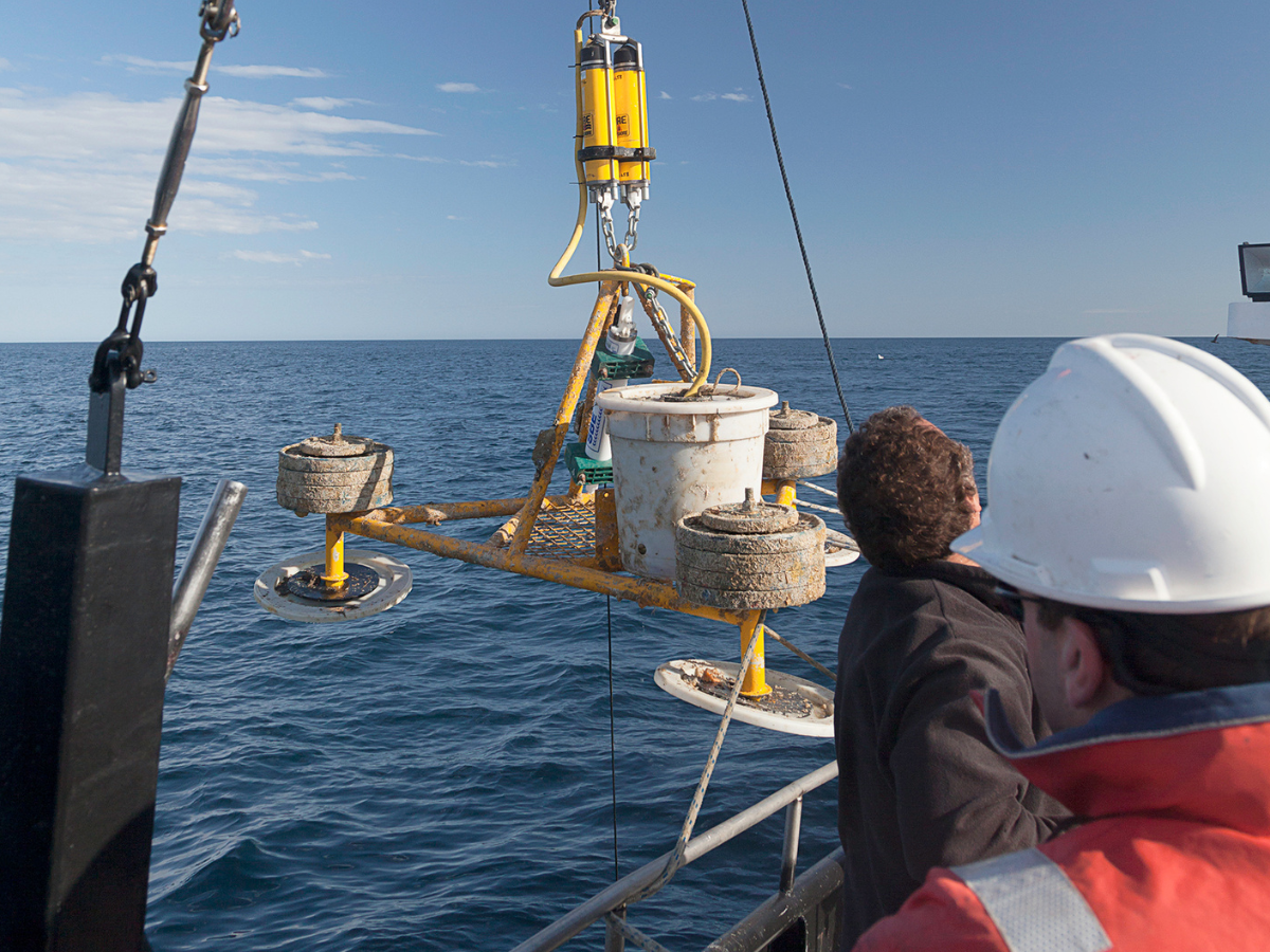
The shelf moorings are deployed in a wide range of configurations (cross shelf arrays, mooring pairs and single moorings), and are designed to characterise and monitor regional processes on the continental shelf. In some locations, shelf moorings are linked to Deep Water Arrays.
Acidification moorings are co-located at some National Reference Station sites to collect the full suite of parameters needed to characterise the concentration of acidification.

Why it’s important
The network of moorings deliver long-term time series observations which are critical for defining key components of climate change and associated responses of ocean ecosystems. The moorings also provide data to characterise and monitor regional processes on the continental shelf. Finally, the acidification moorings provide key observations to help us understand and address the problem of increasing ocean acidification.
Key data streams
Select a key data stream to view all IMOS Facilities that collect that data.
Sub-Facilities
Inactive Sub-Facilities
Useful information
Acknowledging IMOS
Users of IMOS data are required to clearly acknowledge the source material by including the following statement:
Australia’s Integrated Marine Observing System (IMOS) is enabled by the National Collaborative Research Infrastructure Strategy (NCRIS). It is operated by a consortium of institutions as an unincorporated joint venture, with the University of Tasmania as Lead Agent.
