Estuarine and Coastal Moorings
Estuarine and Coastal Moorings
Australia’s coastal zones face increasing pressures from climate change, sea-level rise, and coastal development, creating a need for coordinated monitoring of environmental conditions where land meets the sea. IMOS will establish a national, standardised network of estuarine and coastal moorings to provide near real-time observations of water quality.

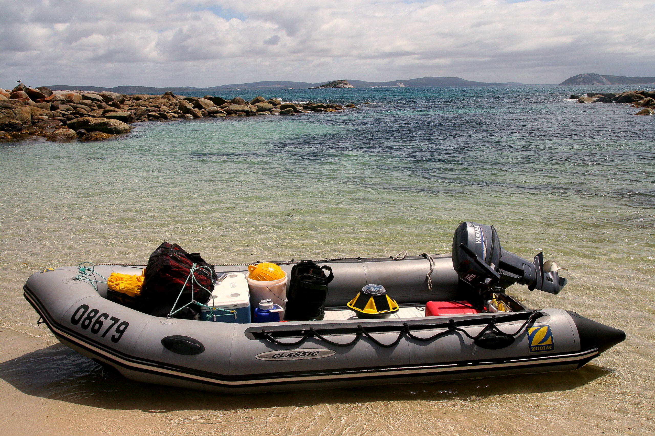
How it works
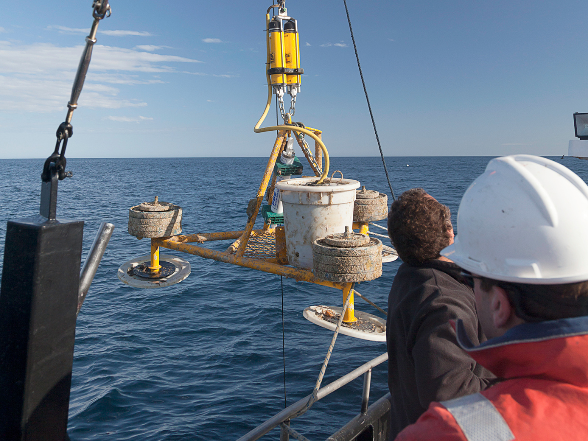
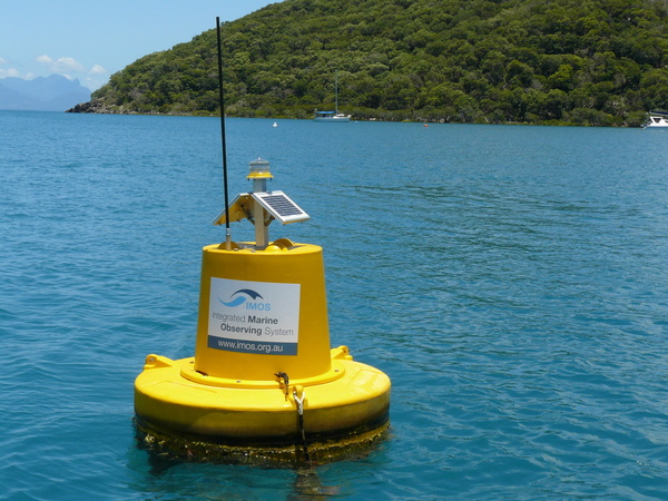
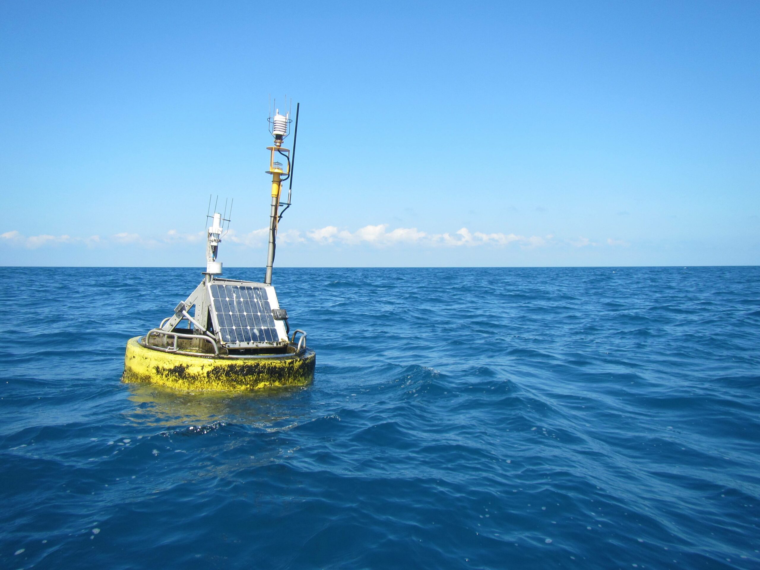
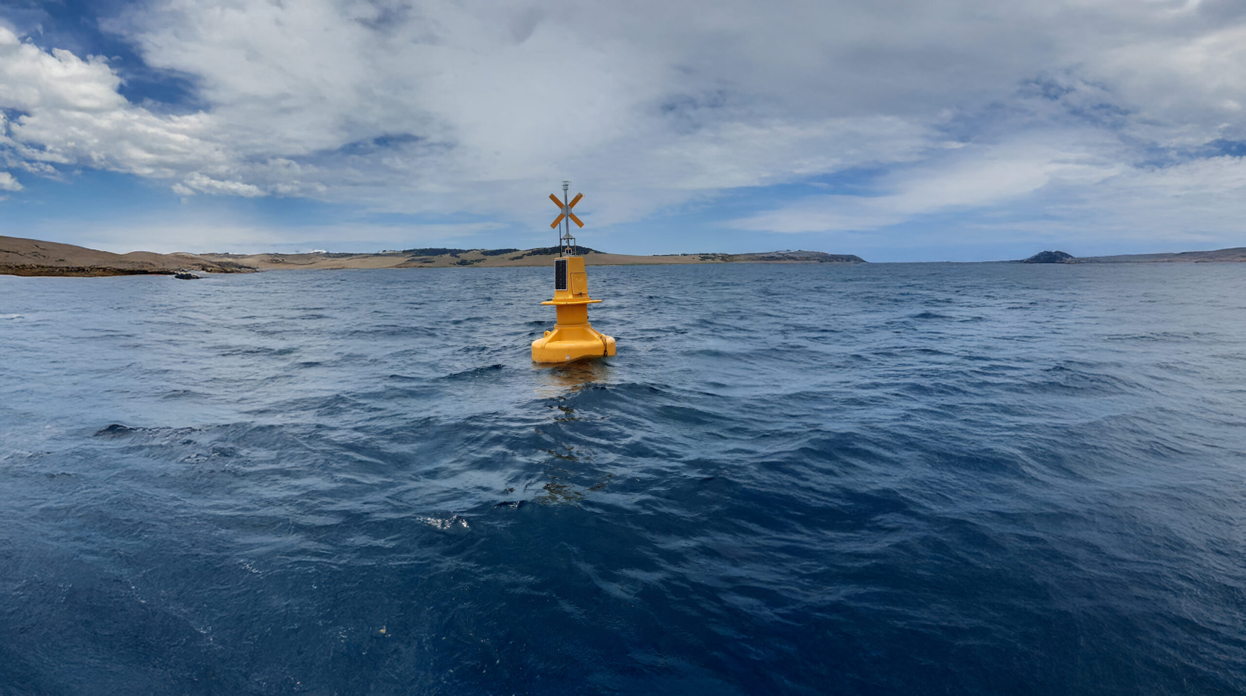
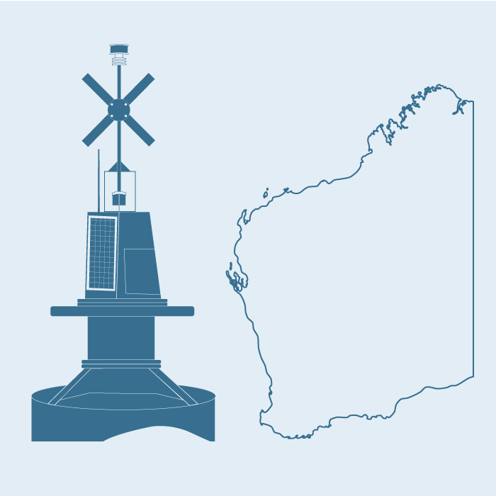
Small to medium buoys are deployed in shallow waters and anchored securely to the seabed. Moorings are serviced every two to three months to clean and calibrate sensors, replace components, and collect water samples for validation. Deployment and maintenance of estuarine moorings will be undertaken by regional operators.
Data collection
Each mooring records temperature, salinity, chlorophyll-a, dissolved oxygen, and turbidity, with the option to include additional sensors to measure pressure, currents, pH, or nutrients. Data will be integrated with existing IMOS observations and, where possible, with information collected by state agencies, industry, and other stakeholders, expanding spatial coverage and value.

Why it’s important
Over 85% of Australians live within 50 km of the coast, with many major cities situated along estuaries. These areas support fisheries, tourism, recreation, and biodiversity but face growing pressures from climate change, sea-level rise, and coastal development. A standardised, near real-time estuarine mooring network provides reliable, integrated data to understand and manage these environments, supporting better urban planning, resource management, and environmental conservation, and enabling faster responses to emerging challenges.


Sub-Facilities
Useful Information
Operating institution
Acknowledging IMOS
Users of IMOS data are required to clearly acknowledge the source material by including the following statement:
Australia’s Integrated Marine Observing System (IMOS) is enabled by the National Collaborative Research Infrastructure Strategy (NCRIS). It is operated by a consortium of institutions as an unincorporated joint venture, with the University of Tasmania as Lead Agent.