Tasmania
IMOS is part of Australia’s National Collaborative Research Infrastructure Strategy (NCRIS). Research infrastructure refers to the facilities, equipment, resources, and skilled workforce that underpin cutting-edge research and innovation in Australia. Researchers across many institutions can access the infrastructure, ensuring equitable and common access across the country, from our regions to our cities.
Principal Participants include the University of Tasmania, CSIRO and the Bureau of Meteorology.
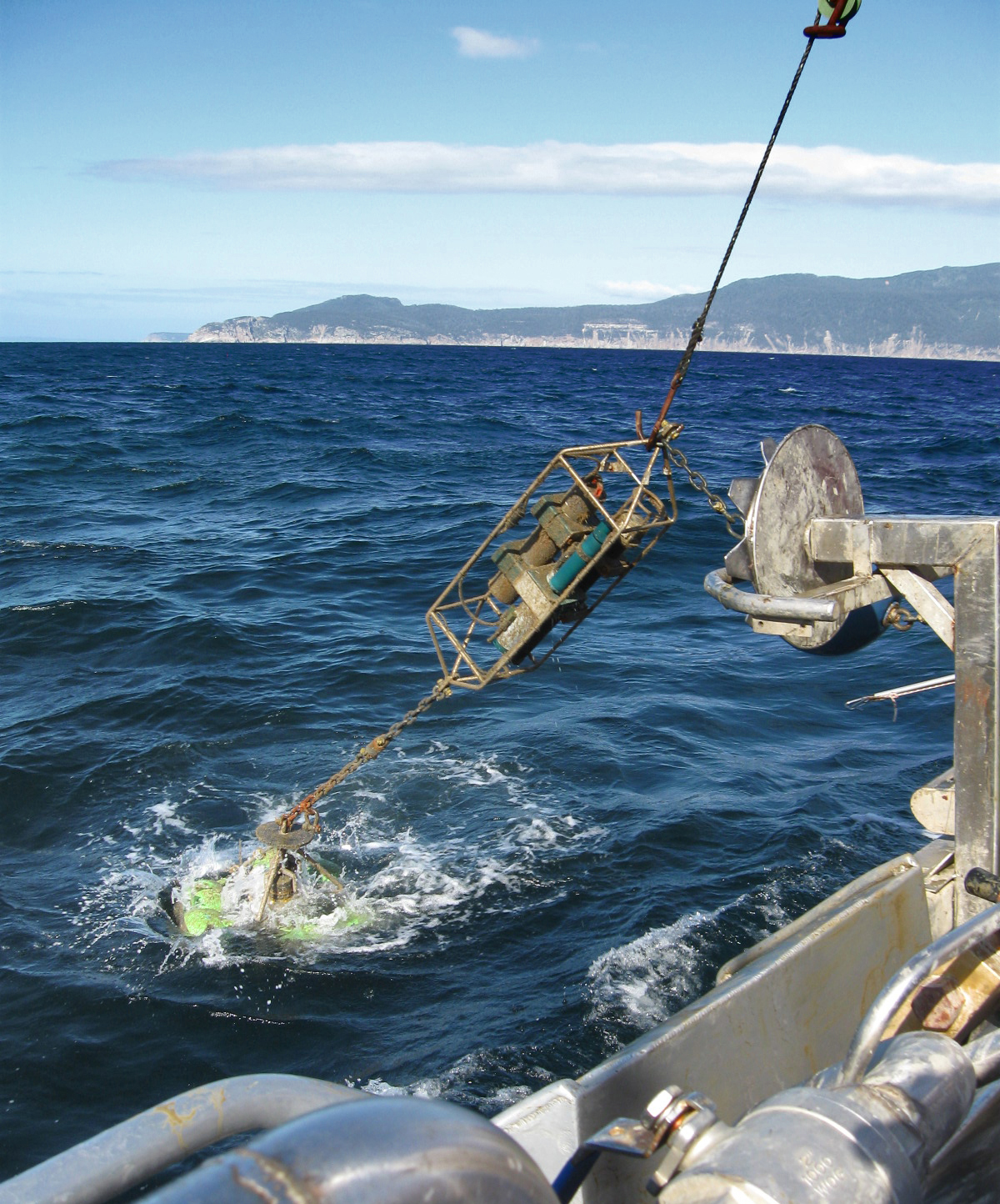
IMOS’ sustained ocean observing infrastructure in Tasmania
National Mooring Network
Satellite Remote Sensing
Acidification Moorings
Wave Buoys
Deep Water Moorings
Ocean Gliders
Ships of Opportunity
Animal Tracking
Argo Floats
Autonomous Underwater Vehicles
The Tasmanian marine science community has used IMOS observations to produce
282
Journal Articles
88
Reports
90
Projects
39
Data Projects
74
Postgraduate Projects
Tasmanian institutional users of IMOS observations
13
Government Departments & Research Agencies
11
Research Collaboration & Non-government
15
Industry & Services
1
Universities
IMOS office and Australian Ocean Data Network (AODN)
Based at the University of Tasmania, the IMOS Office manages and coordinates the IMOS Facilities spread around the country. The Australian Ocean Data Network makes all data collected by the IMOS Facilities openly available. These jobs represent a highly-skilled workforce of software developers and data scientists.
CSIRO Oceans and Atmosphere’s proximity to the IMOS Office and their key place in the partnership further enriches the collaboration.
