Deep Water Moorings
Deep Water Moorings
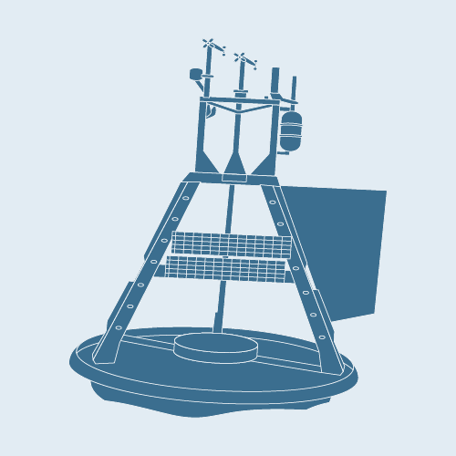
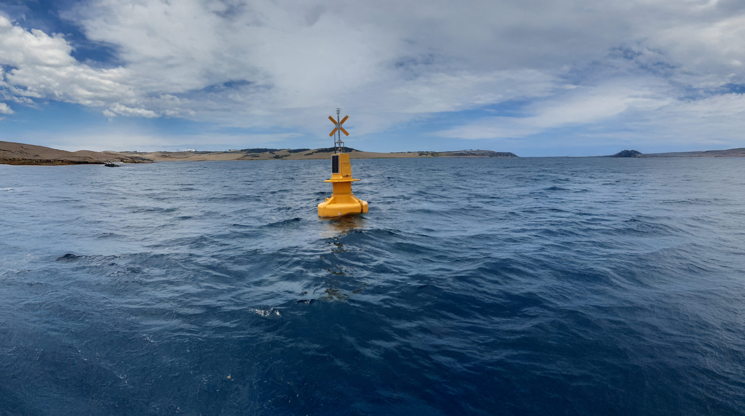
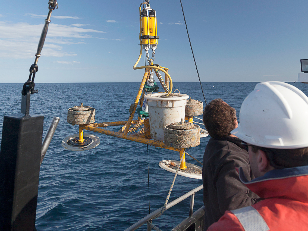
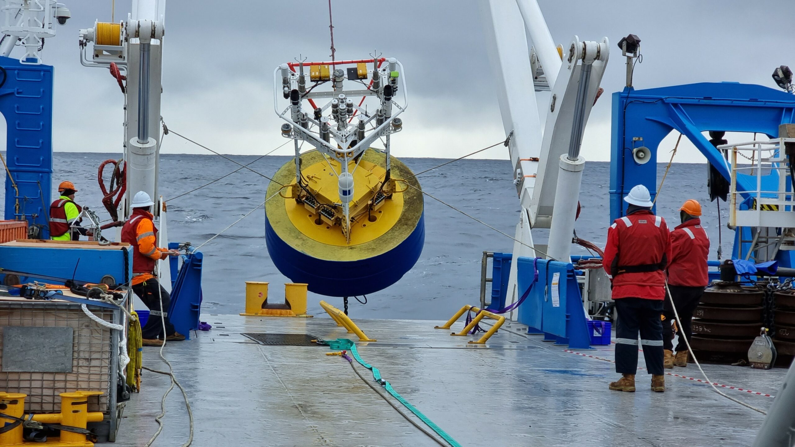
Deep water moorings provide high-quality, high-resolution in-situ information regarding the physical environment in which they are deployed. Unlike when instruments are deployed from research vessels, deep water moorings continuously collect data over long periods of time, providing long-term information about temporal patterns in oceanographic and biological conditions.
 David Flynn, CSIRO
Locations
The IMOS Deep Water Moorings Facility is comprised of a number of moorings located in Antarctica, sub-Antarctic, sub-tropical and tropical open waters around Australia. The Deep Water Moorings Facility consists of two different sub-facilities.
Depending on location, each of the IMOS deep water moorings is equipped with particular instrumentation to measure desired variables and to cope with local conditions.
Data collection
The IMOS deep water moorings provide data that can track multi-decadal ocean change, predict regional and marine impacts, improve the understanding of the modes and drivers of climate variability in the Australian region, improve the capacity to predict ocean currents, and discover the links between ocean and climate variability, marine chemical cycling and ecosystem structure and function.
Key data streams
Select a key data stream to view all IMOS Facilities that collect that data.
Sub-Facilities
Inactive Sub-Facilities
Useful information
Acknowledging IMOS
Users of IMOS data are required to clearly acknowledge the source material by including the following statement:
Australia’s Integrated Marine Observing System (IMOS) is enabled by the National Collaborative Research Infrastructure Strategy (NCRIS). It is operated by a consortium of institutions as an unincorporated joint venture, with the University of Tasmania as Lead Agent.
