
Region: Queensland
-
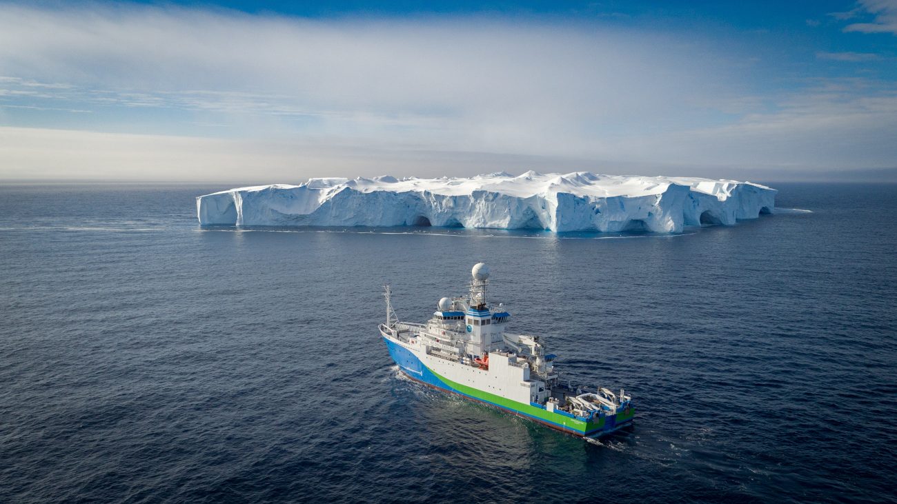
Ships of Opportunity
The IMOS Ships of Opportunity (SOOP) Facility uses a combination of volunteer commercial and research vessels to collect data relating to physical, chemical and biological oceanography and ecology. As chartered vessels for equipment deployment are expensive and time consuming, the use of volunteer vessels, in addition to equipment especially designed to be deployed efficiently and…
-

Acoustic Telemetry Arrays – Queensland
The Queensland Acoustic Telemetry Arrays, funded by the Department of Environment and Science, Queensland provides the infrastructure to understand the distribution and movement of important marine species along the east coast of Queensland. Queensland Acoustic Telemetry Arrays ceased operations in June 2023, however data is still available through the AODN Portal. How it works A network of acoustic…
-
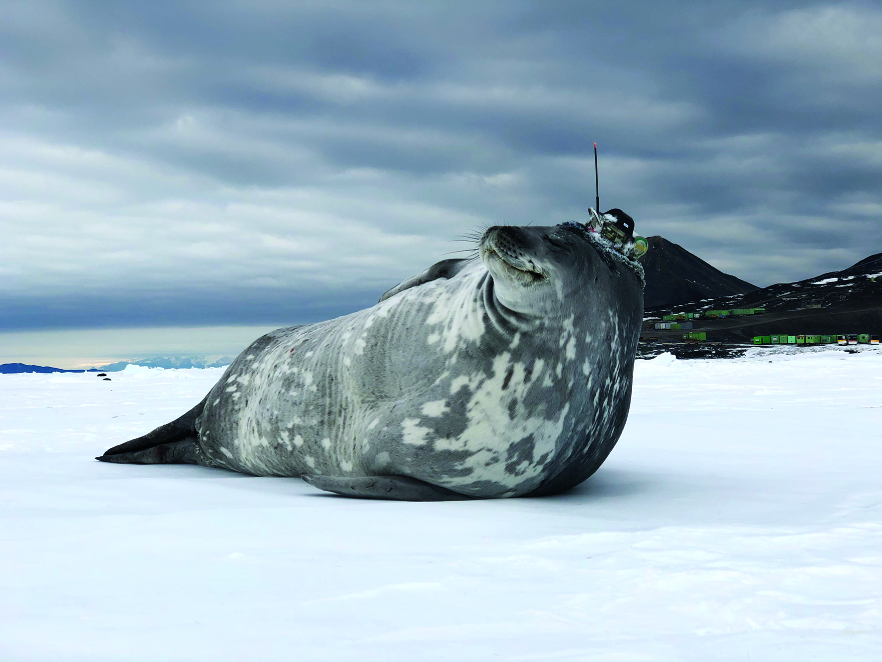
Animal Tagging
Animal Tagging deploys miniaturised sensors on marine animals to collect oceanographic data from remote and hard-to-access environments. In the Southern Ocean, Weddell and southern elephant seals are equipped with CTD satellite relay data loggers (often including fluorometers which measure ocean productivity), to collect high resolution ocean observations derived from temperature, salinity and depth profiles in…
-
Acoustic Telemetry
Acoustic Telemetry uses a large network of strategically located acoustic receivers in waters around Australia to detect and track tagged animals. This network typically consists of two main types of deployments, large cross shelf arrays or curtains and clustered arrays around local areas such as reefs, headlands, and estuaries. Data collection Acoustic Telemetry makes it…
-
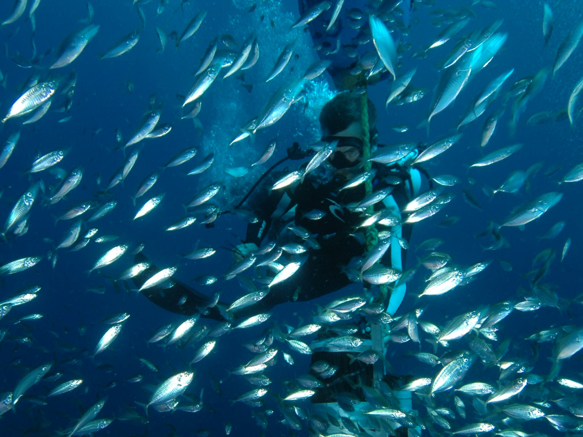
Animal Tracking
Animal Tracking supports the collection of a wide range of data using tagged animals including fish, sharks and marine mammals. Data collection Animal Tracking consists of two sub-Facilities: Acoustic Telemetry, which uses a continental-scale array of strategically placed underwater acoustic receivers and a central data repository to monitor and track broad-scale movements of tagged animals,…
-
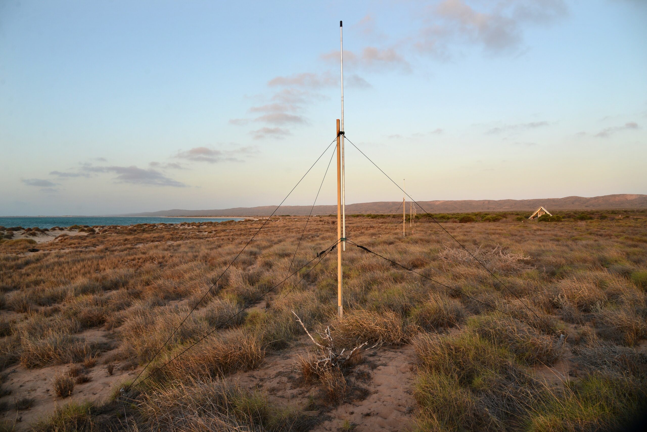
Ocean Radar
IMOS Ocean Radar provide maps of surface currents at the mesoscale (generally an area of 150 Km x 150 Km), that contribute to research into biological systems, ocean modelling, ocean circulation and provide a valuable tool in monitoring coastal currents. Data How it works The Ocean Radar Facility currently uses two types of High-Frequency ocean…