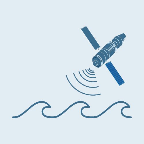
Earth observing satellites provide a uniquely efficient means of making repetitive observations automatically over vast areas of the world’s oceans. Although confined to the surface layer, over the past 30 years these observations have been a vital tool for both biological and physical oceanographers and have played a key role in advancing both sciences.
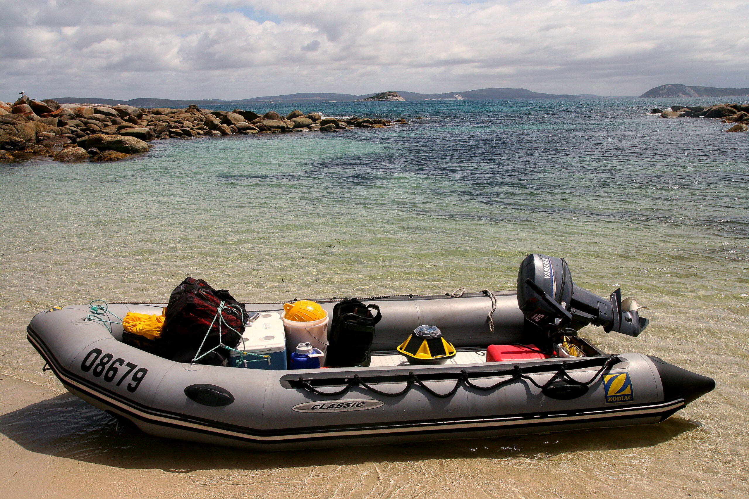
Jack Beardsley, UTAS
Objective
The objective of the IMOS Satellite Remote Sensing Facility is to make more of these data, of better quality, more available and easier to use for research. It does this through supporting collection, management, processing, calibration and validation of satellite data, and providing properly documented data in standard formats that are widely supported and familiar to the research community.
Equipment
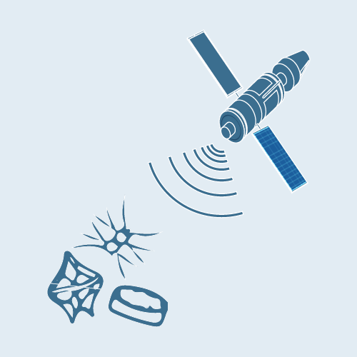
Satellite-borne sensors measure spatial and temporal properties of the sea surface using ranges of the electromagnetic spectrum in a variety of different ways. Instruments using the infra-red and microwave spectrum observe changes global, regional and local in sea surface temperatures, revealing both the short-term dynamics of ocean currents and the long-term variation of the ocean climate. Optical sensors use sunlight reflected from the upper ocean layers to infer and quantify biological activity and, in coastal regions, to detect the presence of other optically active constituents including suspended solids and dissolved organic matter. Radar altimeters provide measurements of sea surface height with unmatched precision over the global ocean, revealing regional variations in water density and giving one of the most reliable measurements of the long-term change in ocean volume. Other specialised and increasingly innovative sensors measure surface roughness, wind direction, and even surface salinity.
Data
Although IMOS does not deploy satellites, the Satellite Remote Sensing Facility plays an important role in the international remote sensing community, supporting the calibration and streaming of satellite data in the Southern hemisphere and providing access to high-quality data products through the six Sub-Facilities that make-up Satellite Remote Sensing.
Key data streams
Select a key data stream to view all IMOS Facilities that collect that data.
In the absence of an independent Australian national satellite capability, IMOS has adopted a dual strategy to support remote sensing infrastructure for marine research:
Supporting the production of and access to standardised quality controlled products that are in high demand by researchers
Collecting and organising in situ calibration and validation data that is available not only for local algorithm development, but is also provided to international space agencies for the improvement of global algorithms and products, especially making them more accurate in Australasian regional waters.
There are six satellite remote sensing sub-Facilities operating infrastructure and delivering data for IMOS. Four of these focus on sea surface temperature, ocean colour, sea surface altimetry data and surface waves, while the other two undertake data acquisition, management and provision activities.
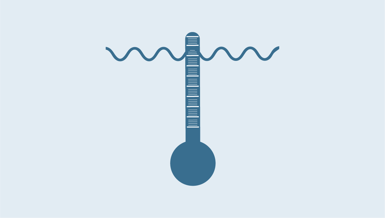
The Sea Surface Temperature Products sub-Facility operated by the Bureau of Meteorology produces sea surface temperature products for the Australasian region, Southern Ocean and Indonesian Seas from polar orbiting and geostationary satellites. These data are processed, quality controlled and formatted to conform to the global standards set by the Group for High Resolution Sea Surface Temperature (https://www.ghrsst.org/) to whom they are provided, making a significant contribution to the global data set. A variety of gridded and temporally aggregated products are available.
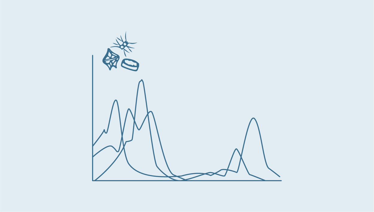
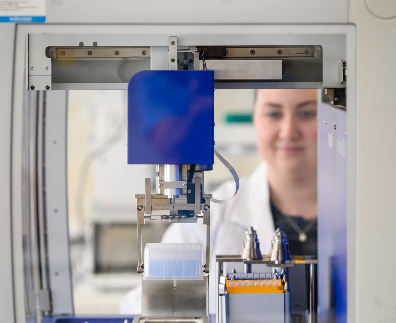
The Ocean Colour sub-Facility, hosted primarily within CSIRO, produces a 1km daily ocean colour product for the Australian region using the global algorithms. The production infrastructure, located at the national eResearch peak facility in Canberra, supports a variety of research activities by maintaining base data archives and data processing capabilities that can be used to produce customised data products. Through this sub-facility IMOS is also supporting the assembly of a bio-optical database of Australian waters, a compilation of in situ observations from multiple institutes and agencies over more than a decade, that can be used to validate algorithms. IMOS also supports the operation of autonomous spectral radiometers on research vessels to collect underway in situ data used to develop and validate atmospheric correction algorithms. In addition the Lucinda Jetty Coastal Observatory is an established tropical site with both above and below water radiometry and atmospheric monitoring that contributes a time series of measurements to the global algorithm development community. A further important activity is supporting Australian participation in the SeaHARRE round robin inter-comparison experiments that ensures Australia’s lab capability for the analysis of in situ samples is at the forefront of international best practice.
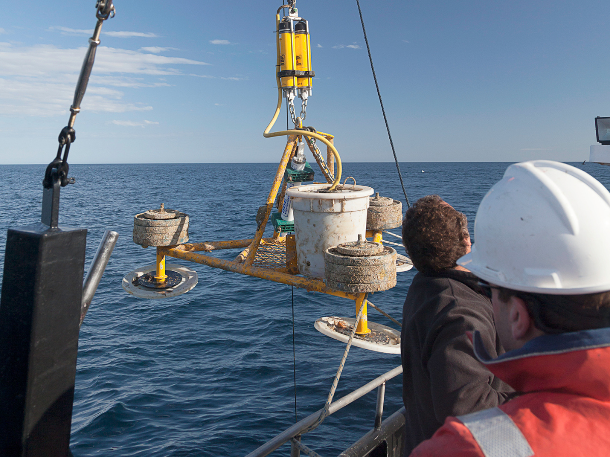
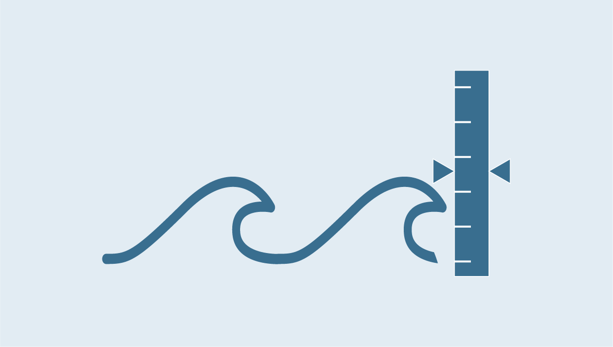
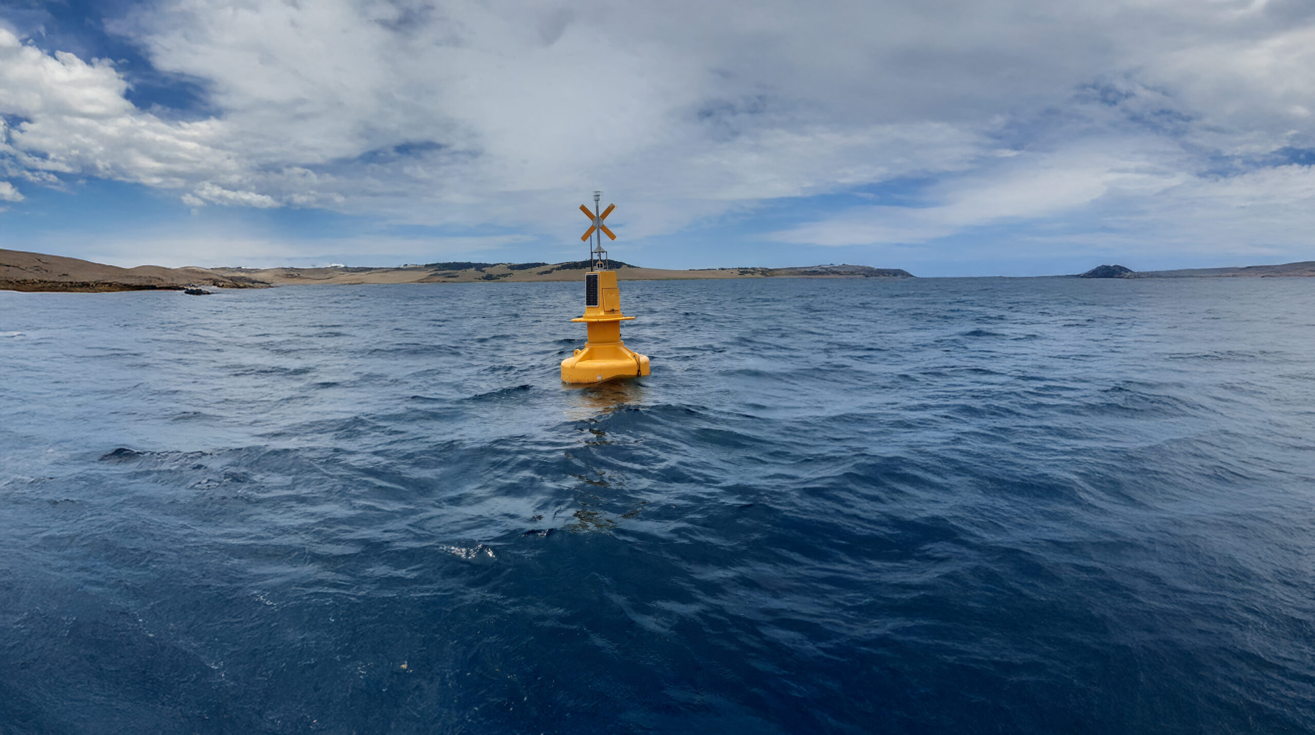
The Satellite Altimetry Calibration and Validation sub-Facility operates the only Southern Hemisphere calibration site for satellite altimetry missions, and contributes two data streams to the international Ocean Surface Topography Science Team (OSTST). The calibration site incorporates a series of moored oceanographic sensors that enable the determination of a precise sea surface height time series. These data are used to assist in the assessment of the quality and accuracy of the primary geophysical data record as provided by the mission agencies.
The long-term site in Bass Strait spans multiple satellite altimetry missions, providing a vital means of ensuring the continuity in this key satellite record for understanding ocean circulation, sea level rise, and the role of the ocean in the global climate system. The gridded sea level anomaly (GSLA) product produced by IMOS OceanCurrent ingests altimeter data that has been assessed and improved based on the international cal/val effort undertaken by the OSTST.
The primary data sets supported by each of these three sub-Facilities, SST, ocean colour and GSLA, can all be explored via the IMOS OceanCurrent web site.
IMOS makes a contribution to the ongoing operation, by the Australian Institute of Marine Science, of a satellite data receiving station outside Townsville in Queensland. This station is ideally located to provide coverage of the Coral Sea and the Great Barrier Reef. Data streams collected include the NOAA polar orbiting satellites that provide the backbone of the SST products, the NASA MODIS sensors used for ocean colour, and other satellites that relay in situ environmental data. All Earth Observation data collected are made available through IMOS.
The Remote Sensing Collections sub-Facility supports generic data acquisition, processing and management for both the SST and Ocean Colour sub-facilities, as well as collecting and preparing additional satellite data sets from around the world to enable their access via IMOS. Remote sensing data are amongst the largest (by volume and number of files) data sets served by IMOS. The collections sub-facility performs a data presentation quality and consistency check on these large data sets, and maintains a primary super-archive from which the IMOS Portal draws the data sets that it serves directly. While primary access to Satellite Remote Sensing data discovery and exploration is through the Australian Ocean Data Network (AODN) Portal, Remote Sensing Collections can provide advice and assist with specialised data needs, such as complex requests, direct access to large volumes or subsets of non-gridded data (eg for matchup analyses). The sub-facility plays a role in managing and merging the Australian NOAA/AVHRR data set that underpins the SST sub-facility, and in capturing and curating remote sensing data sets from overseas that are of interest to Australian marine researchers, such as those from the new sea surface salinity missions or the NASA global chlorophyll data sets.
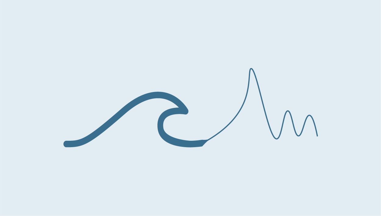
Lastly the Surface Waves sub-Facility provides oceanic wave data and wave products using satellite remote sensing. The key aims of Surface Waves is to calibrate and distribute surface ocean wave data from both current and next-generation satellite missions, supporting ongoing and emerging research and industry and service operations in Australia. The efficiency of and high-quality data produced by Surface Waves is gained from being interconnected with other IMOS facilities including, Wave Buoys, Southern Ocean Time Series Observatory, Satellite Altimetry Calibration and Validations and OceanCurrent.
Users of IMOS data are required to clearly acknowledge the source material by including the following statement: Australia’s Integrated Marine Observing System (IMOS) is enabled by the National Collaborative Research Infrastructure Strategy (NCRIS). It is operated by a consortium of institutions as an unincorporated joint venture, with the University of Tasmania as Lead Agent.