Ocean Colour
Ocean Colour
Ocean colour measured from space using satellite remote sensing, provides information on suspended particles within the water that alter the absorption and reflection of light. These changes in ocean colour is often used to infer the concentration of phytoplankton, however based upon their interactions with light, particulate organic matter and particulate inorganic matter is also measurable, providing valuable information on ecosystem processes and overall health.
Data
Observations
Ocean colour observations from NASA satellites have been routinely available for over two decades, with the initial launce of SeaWiFS in 1997, followed by MODIS Terra and Aqua in 1999 and VIIRS on Suomi/NPP in 2012. Although data products from all these missions are available, they are typically in the form of derived products (e.g. Chlorophyll-a), binned and mapped at 4 or 9 km resolution globally and often are also time-averaged. These data sets are often less suitable for coastal applications, developing regional algorithms, or for characterising product accuracy through in-situ matchups, where finer spatial resolution data is desired.
Data collection
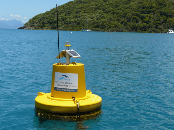
To address these needs, the IMOS Ocean Colour Sub-facility has supported the assembly of Australasian Ocean Colour archives of raw data from all satellite missions and established a processing system, based on NASA’s standard ocean colour processing software (SeaDAS), at the National Computational Infrastructure (NCI). The IMOS Ocean Colour Sub-facility also supports validation of this data through the assembly of an Australian Bio-Optical Data Base and the collection of in-situ observations.


Useful information
Validation of ocean colour
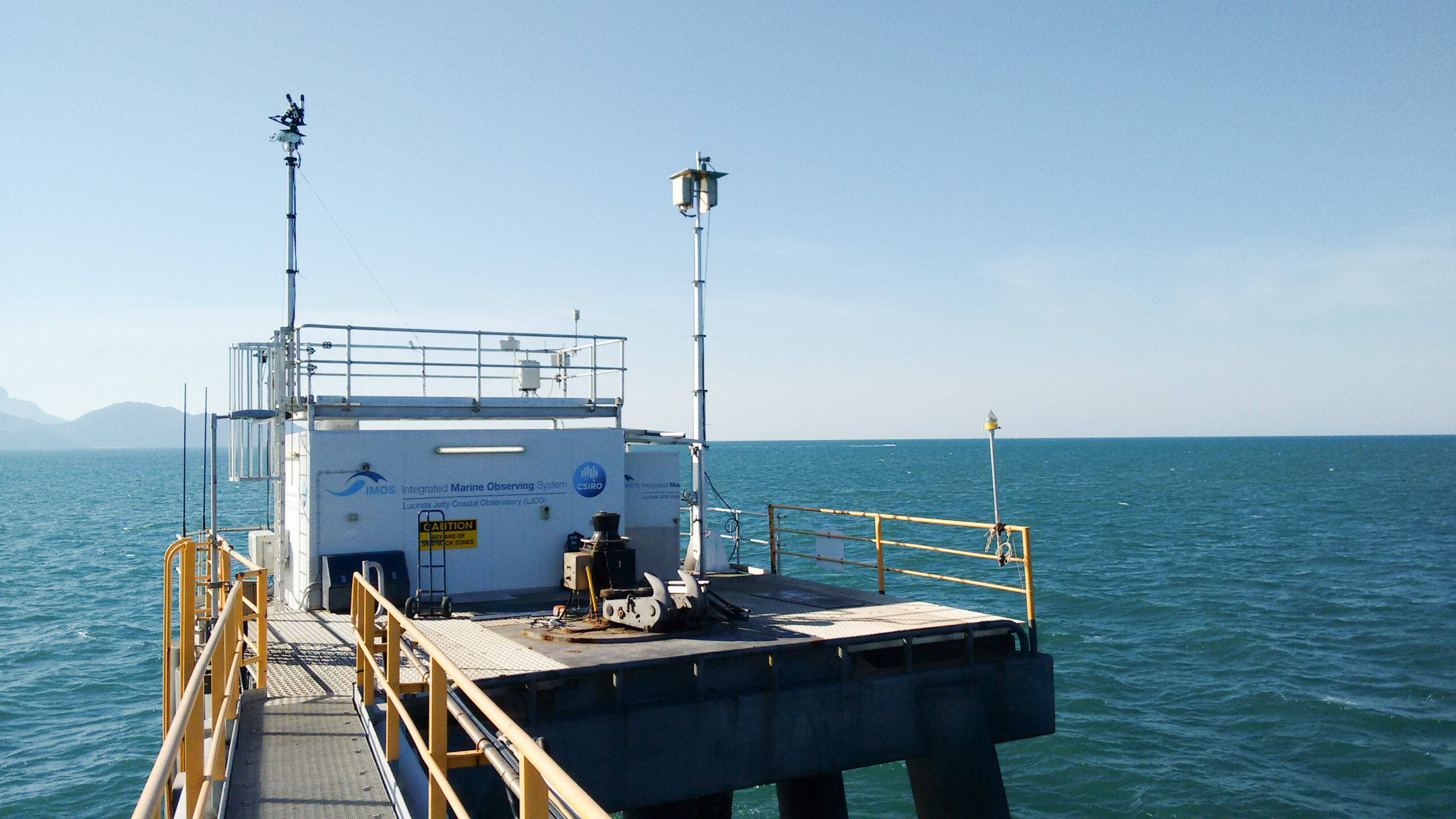
Ocean colour data streams include water radiance from the DALEC ship-based and Lucinda Jetty SeaPRISM radiometers and optical properties from the in water measurements at Lucinda Jetty.
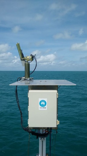
The Lucinda Jetty Coastal Observatory (LJCO) above and in-water optical measurements are acquired with the objective to support satellite validation and remote sensing algorithm development. Currently, LJCO is the only southern-hemisphere ocean colour validation site integrated into NASA’s AERONET-OC global network of ground-based radiometers and one of a few sites globally that combines the acquisition of both atmospheric and in-water optical measurements to help unravel the inaccuracies in remotely-sensed satellite ocean colour products due to the optical complexity of coastal waters and the overlying atmosphere.
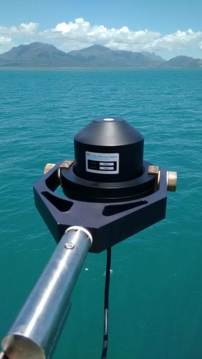
This system, the “Dynamic above water radiance and irradiance collector” (DALEC) was developed in Australia by “In situ Marine Optics (IMO)” and measures simultaneously sea and sky radiance together with down-welling hemispherical irradiance during autonomous ship-based deployments. The DALEC sensor head contains three compact hyper-spectral spectroradiometers (Carl Zeiss Monolithic Miniature Spectrometers), as well as a GPS and pitch and roll sensors, and is designed to be mounted on a boom positioned over the water, typically off the ship’s bow.


Acknowledging IMOS
Users of IMOS data are required to clearly acknowledge the source material by including the following statement:
Australia’s Integrated Marine Observing System (IMOS) is enabled by the National Collaborative Research Infrastructure Strategy (NCRIS). It is operated by a consortium of institutions as an unincorporated joint venture, with the University of Tasmania as Lead Agent.