Argo Floats
Argo Floats
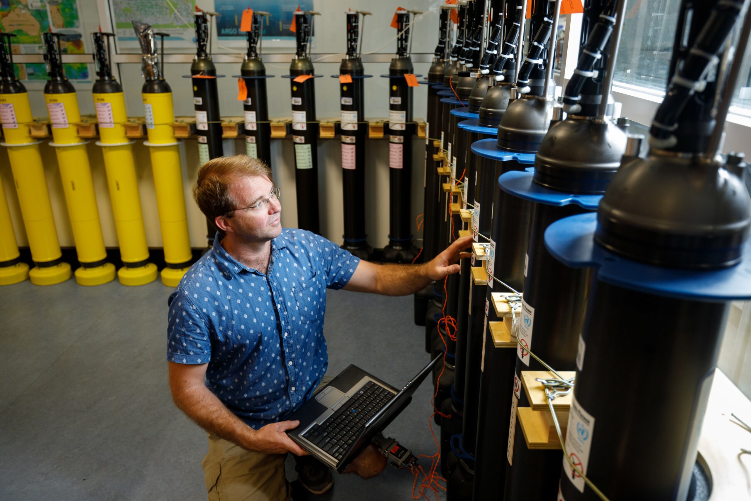
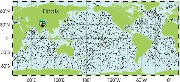
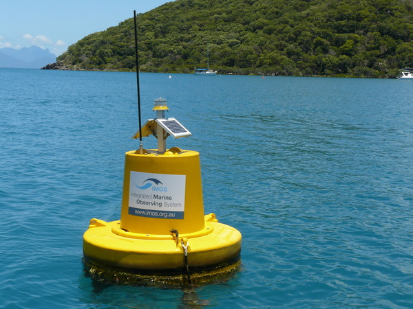
Argo Floats deployed by IMOS provide real-time observations of the oceans around Australia. Argo floats measure both temperature and salinity in the upper 2000m of the ocean every 10 days.
Argo floats have revolutionised our understanding of the broad scale structure of the ocean. Since the Argo program began, the array of floats have provided more high-resolution ocean data than have ever been collected by traditional ship-based hydrography.

How it works
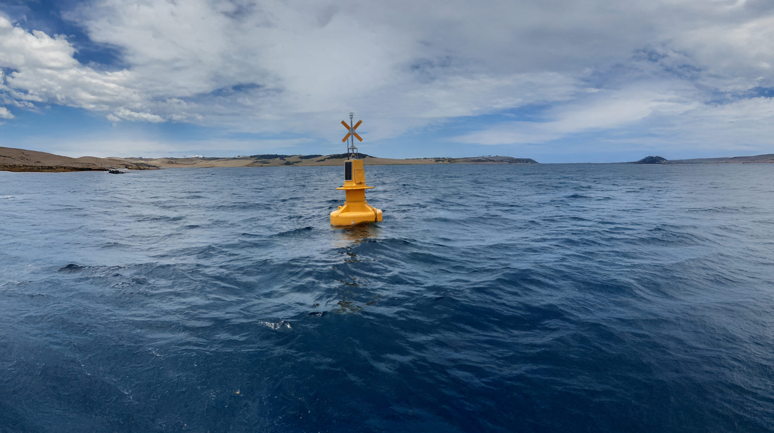
On deployment, the float sinks to a park depth (e.g. 1000 m) and drifts with the ocean currents for 9 days. Then the float sinks deeper to its profile depth (usually 2000 m) before starting to ascend through the water column measuring temperature, salinity, and pressure as it rises.
When the float reaches the surface, it transmits location and oceanographic measurements via satellite to land-based Argo data centres. After transmission, the float sinks again and repeats the cycle.
Data collection
Data is publicly available from Global Data Access Centres within 24 hours of collection via the real-time data stream. Highly quality-controlled data is available after 12 months as part of the delayed mode data stream. Argo provides essential and in situ data for ocean and climate research and prediction/re-analyses.

Why it’s important
The primary goal of the Argo program is to maintain a global array of autonomous profiling floats integrated with other elements of the climate observing system. Argo Australia, as part of the international collaborative effort, are one of the largest contributors to the global array.


Sub-Facilities

Useful information
Global argo data
Access to global Argo data is via two Global Data Access Centres (GDACs); one located in Monterey, USA (USGODAE) and the other in Brest, France (CORIOLIS). Both GDACs hold the complete Argo data collection. Data can be selected using a latitude/longitude region and a time range or by Data Centre (DAC) or ocean region. The data at the GDACs are in netcdf format with profile, trajectory, technical and meta files available for each float.
Global Argo data is available through two Global Data Access Centres (GDACs) in netcdf format:
United States Global AccessCentre
The global fleet of Argo floats has provided hundreds of thousands of profiles to date. Many Data Centres provide gridded products derived from Argo data – accessible here
Comprehensive documentation of the Argo data system is described in the data manuals; “A beginners’ guide to accessing Argo data” and “The Argo Data Management Handbook”. The “Argo User’s Manual” and the “Argo Quality Control Manual” are invaluable guides for those working with Argo netcdf files who would like to understand the data formats and quality control methods applied to the data. These reference manuals are available from the Argo Data Management Website.
Operating institution
Co-investors
Bureau of Meteorology · Department of Defence · University of Tasmania


Acknowledging IMOS
Users of IMOS data are required to clearly acknowledge the source material by including the following statement:
Australia’s Integrated Marine Observing System (IMOS) is enabled by the National Collaborative Research Infrastructure Strategy (NCRIS). It is operated by a consortium of institutions as an unincorporated joint venture, with the University of Tasmania as Lead Agent.