South Australia
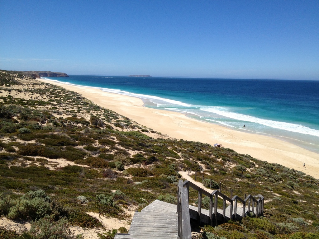
The region lies along the world’s longest zonal, non-polar continental margin. The systems of boundary currents, associated transport of marine biota and ecosystems define its geographical extent to range from Cape Leeuwin in the west to Tasmania in the east.
The region encompasses coastal and shelf/slope waters off southern Australia between Cape Pasley (WA) and Cape Otway (Victoria), and includes diverse ecosystems including the Lower Lakes and Murray Mouth, SA’s unique gulfs, numerous off-shore islands and most of the Great Australian Bight. Southern Australia’s coastal, estuarine and marine waters have significant environmental, economic, social, and cultural value.
IMOS’ sustained ocean observing infrastructure in South Australia
Ships of Opportunity
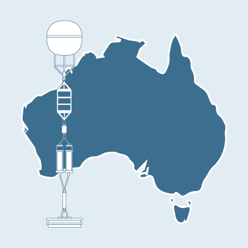
National Mooring Network
Acidification Moorings
Ocean Radar
Ocean Gliders
Argo Floats
Animal Tracking
Satellite Remote Sensing
Autonomous Underwater Vehicles
The South Australian marine science community has used IMOS observations to produce
223
Journal Articles
157
Reports
124
Projects
54
Data Products
36
Postgraduate Projects
South Australian institutional users of IMOS observations
13
Government Departments & Research Agencies
8
Research Collaboration & Non-government
10
Industry & Services
3
Universities
South Australian node partners
The South Australian Research and Development Institute (SARDI) is a principal participant of the unincorporated joint venture. Data collected by IMOS observing infrastructure has been used by all major South Australian universities, including the University of Adelaide and Flinders University.
