Measuring the colour of the oceans is crucial for understanding marine ecosystems, their productivity and health.
The colour of the ocean is influenced by a diverse range of factors, including the water itself and its depth, the organisms that live within it, and the presence of sediments, from rivers or re-suspended from the ocean floor. These factors also represent key oceanographic processes vital for managing ocean resources, human impacts on the ocean, and the impact of the ocean on us.
Ocean colour is measured from space using satellite remote sensing, to provide information on suspended particles within the water that alter the absorption and reflection of light. Changes in ocean colour is often used to infer the concentration of phytoplankton, however based upon their interactions with light, particulate organic matter and particulate inorganic matter is also measurable, providing valuable information on ecosystem processes and overall health.
In a recent project for the international agency the European Organization for the Exploitation of Meteorological Satellites (EUMETSAT), Dr Thomas Schroeder of CSIRO with his colleague Dr Michael Schaale of the Freie Universitaet Berlin (FUB) have developed methods for using Sentinel-3 Ocean Colour data in complex coastal marine environments.
Ocean colour sensors, like the Ocean and Land Colour Instrument (OLCI) sensors aboard the Sentinel-3 satellites, can be used to monitor the ocean colour at a global scale, and, as such, the factors that influence it.
However, there are significant challenges in quantifying and understanding the variability of the factors that influence ocean colour. These influences arise from diverse oceanographic conditions that occur in both space and time around the world. This challenge can be particularly acute in coastal areas where oceanographic conditions tend to be complex and dynamic.
In addition, other challenges, such as atmospheric complexity must be corrected for in the satellite data. As a result, many regional approaches have been developed to support the use of data in different areas. The latter expands the scientific understanding of ocean optics, providing valuable feedback to satellite operators like EUMETSAT, and improves the applicability of data from ocean colour instruments.
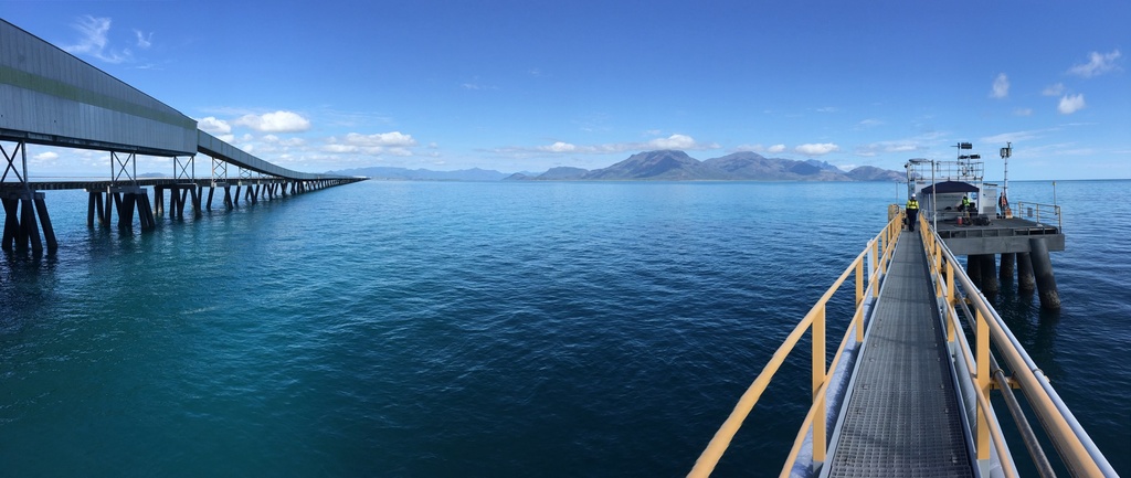
As part of their recent work, Michael and Thomas used in-situ data collected by IMOS to validate the results from the FUB-CSIRO Coastal Water Processor for OLCI data, across a diverse range of ocean colour conditions.
Comparing the in-situ measurements with the results obtained from the new processor showed good performance of the atmospheric correction method across the complex range of coast oceanographic conditions.
The EUMETSAT project was supported by Copernicus Collaborative Exchange funding.