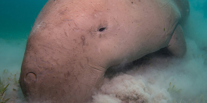
Integrated Marine Observing System
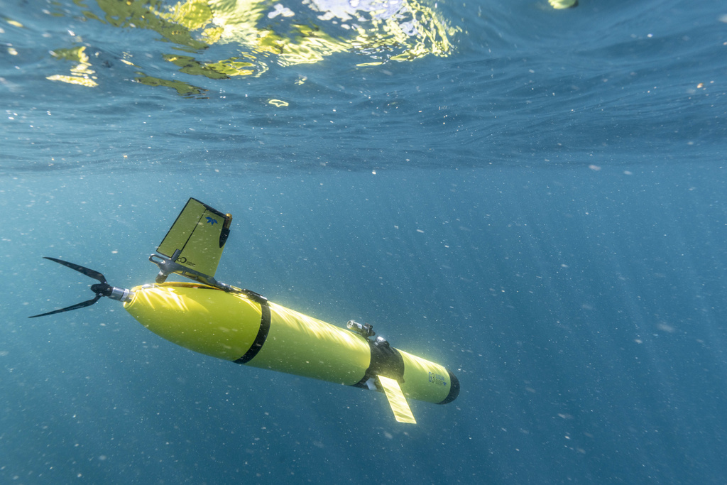
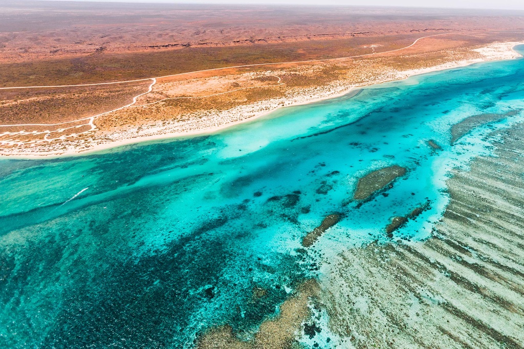
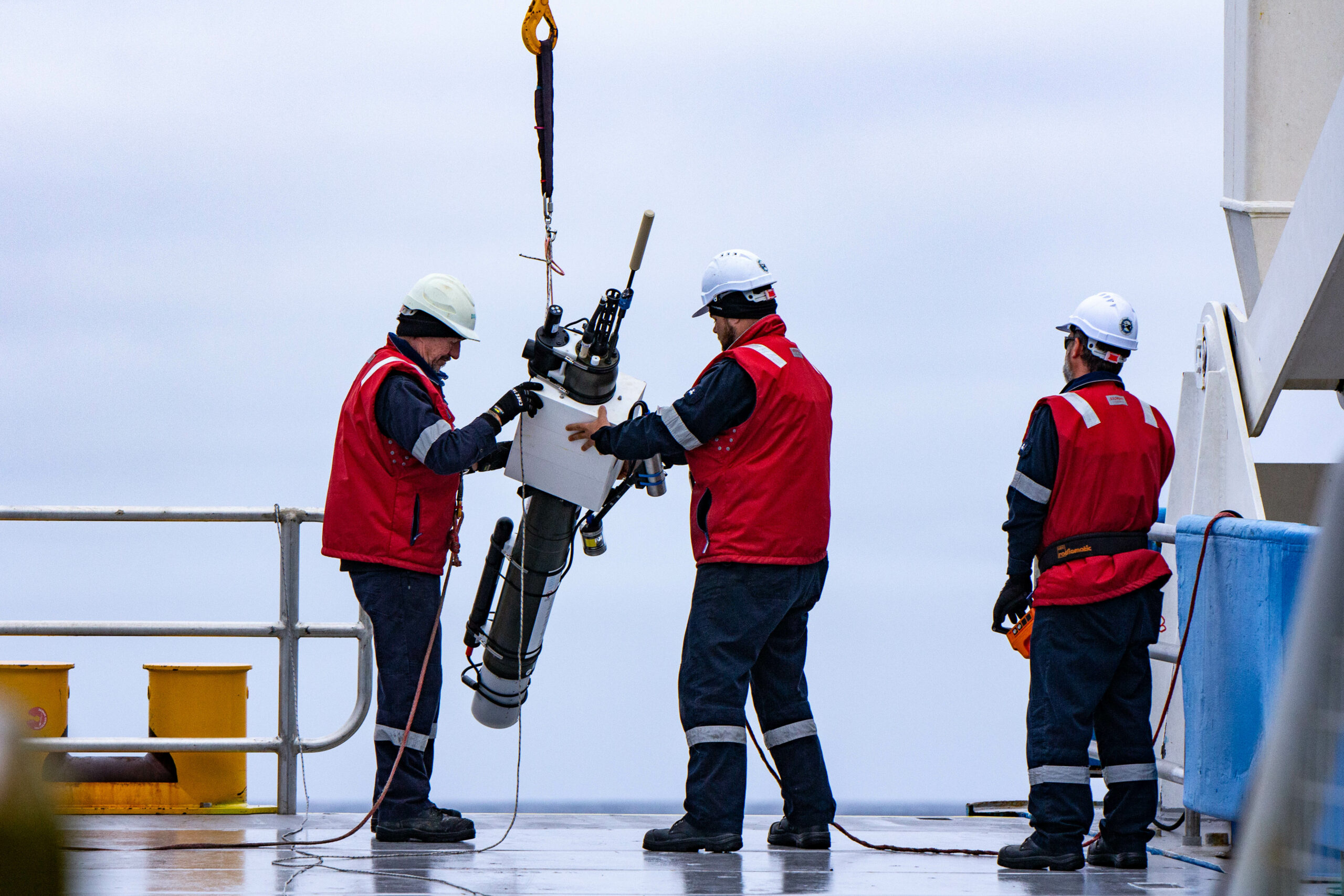
IMOS operates a wide range of observing equipment throughout Australia’s vast and valuable coastal and open ocean estate.

Why does IMOS matter?
Data shortcuts
IMOS Data
Australian Ocean Data Network
Data visualisation
Biological Ocean Observer
Data visualisation
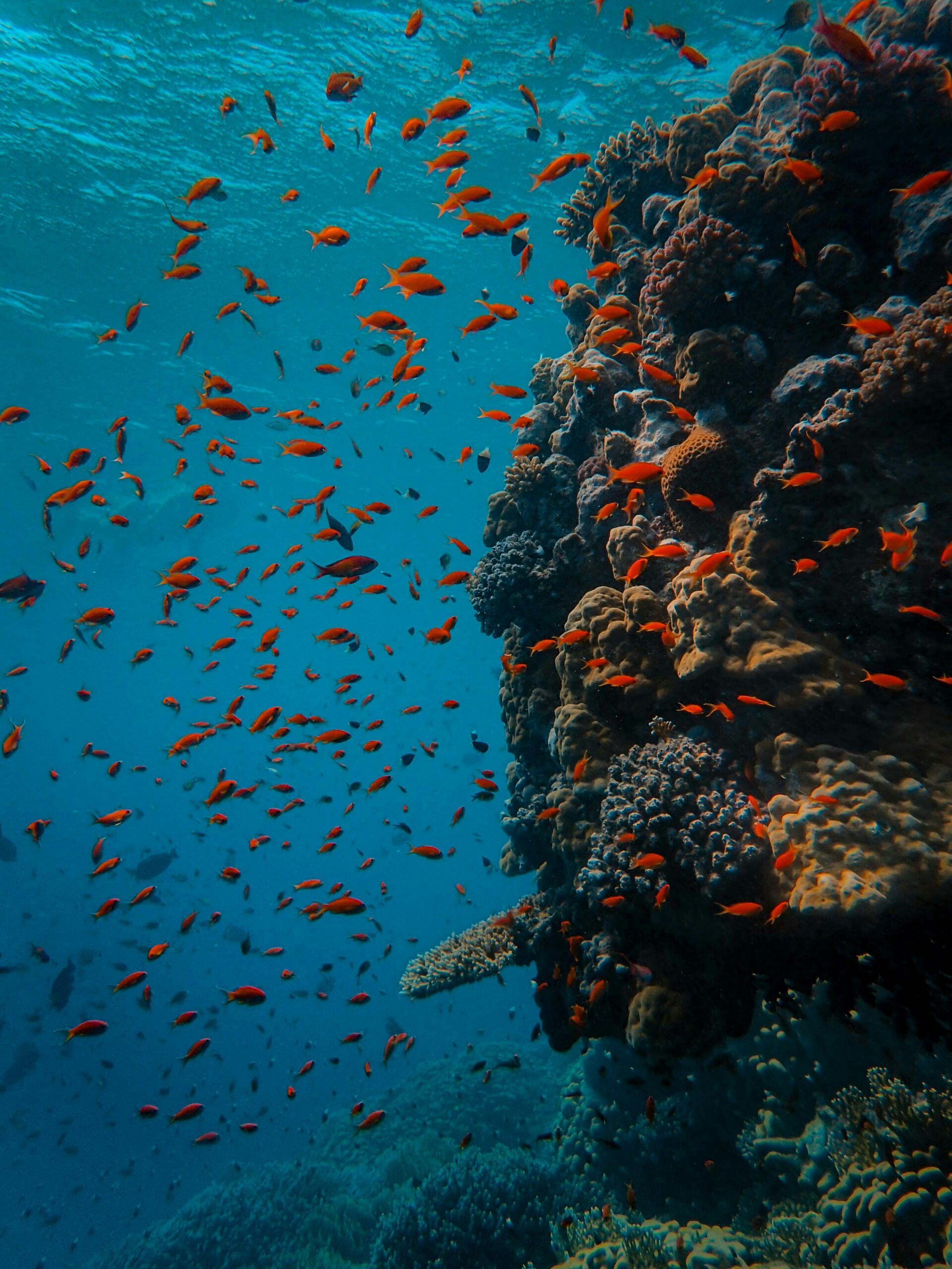
OceanCurrent
Data
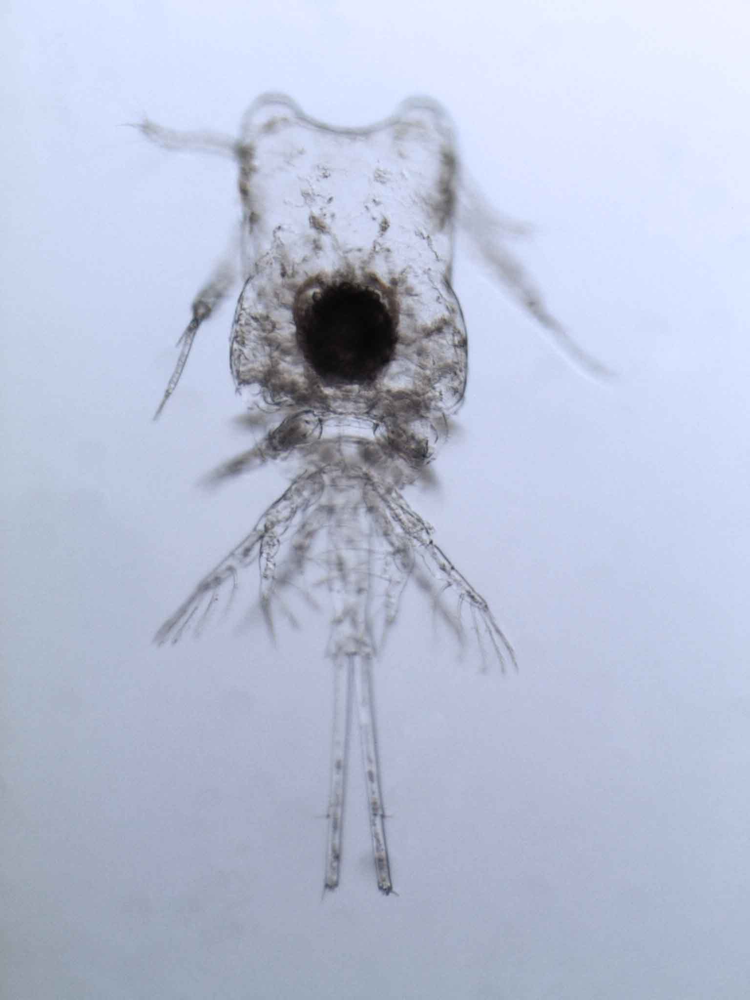
What our data includes
A key element of IMOS is that all observations are turned into quality controlled data that can be discovered, accessed, downloaded, used and reused in perpetuity. Datasets and time series are essentially the research infrastructure that is being created and developed.

Ocean information resources
These resources provide improved accessibility to the wealth of data we collect around Australia. This includes data visualisation products, specialised data applications, toolkits for data scientists and analysis code examples.
We provide innovative methods for people to connect and use our data and understand it in different ways.

What is the Australian Ocean Data Network?
The Australian Ocean Data Network (AODN) stands at the forefront of marine data management in Australia, providing an essential infrastructure for the discovery, sharing and reuse of comprehensive marine and climate data. By managing the IMOS data collection program and incorporating contributions from universities and government research agencies, AODN supports a diverse range of users including researchers, data scientists, government, and industry.

What is the IMOS OceanCurrent?
IMOS OceanCurrent contains the latest information about the state of the oceans and seas around Australia. The online application allows users to view ocean conditions both current and historical, around Australia, and access associated IMOS datasets.
The ocean conditions include sea surface temperature (SST), ocean colour, and surface waves, overlaid with sea level contours and surface current velocities.

High-quality ocean observations
One of the main challenges for ocean observing programs such as IMOS is the diversity in nature and format of the data collected by its Facilities and sub-Facilities. To provide reliable ocean observations and ensure the highest possible data quality standards and interoperability, IMOS has developed a QA/QC framework outlining the procedural expectations for the collection, treatment, management and delivery of IMOS data streams.
Step-by-step instructions
The IMOS GIS Tutorials and User library provides step-by-step instructions for accessing, processing and visualising various IMOS data using Geographic Information System (GIS) software (currently available for ArcGIS and QGIS).
We also provide user code examples to access data using Python, R and MATLAB.

Facilities
IMOS Facilities 
Nodes
IMOS Nodes
About us
What is IMOS?
Australia’s Integrated Marine Observing System (IMOS) has been operating a wide range of observing equipment throughout Australia’s coastal and open oceans since 2006. IMOS makes all of its data openly and freely accessible to the marine and climate science community, other stakeholders and users, and international collaborators
News
Read what’s new


Australia’s Integrated Marine Observing System (IMOS) is enabled by the National Collaborative Research Infrastructure Strategy (NCRIS). It is operated by a consortium of institutions as an unincorporated joint venture, with the University of Tasmania as Lead Agent.
Principal participants


SIMS is a partnership involving 4 universities
Associate participants


IMOS thanks the many other organisations who partner with IMOS, providing co-investment, funding and operational support, including investment from the Tasmanian and Western Australian Governments.