Region: The Northern Territory
-
Ground Stations
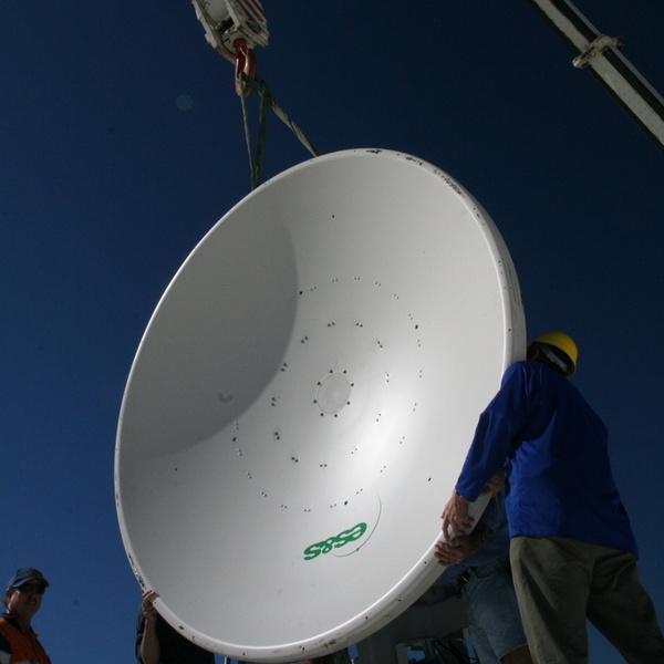
Ground Stations operate and service a reception antenna at the Australian Institute of Marine Science (AIMS) in Townsville, Queensland to support the collection and streaming of satellite remote sensing data to national and international data centres. This Ground Station extends data coverage into the equatorial part of the Western Pacific Ocean and complements other ground…
-
Ocean Colour
Ocean colour measured from space using satellite remote sensing, provides information on suspended particles within the water that alter the absorption and reflection of light. These changes in ocean colour is often used to infer the concentration of phytoplankton, however based upon their interactions with light, particulate organic matter and particulate inorganic matter is also…
-
Sea Surface Temperature Products
The Sea Surface Temperature (SST) Satellite Remote Sensing Sub-Facility in a collaborative effort with the Australian Bureau of Meteorology produce high-resolution satellite sea surface temperature (SST) products over the Australian and Southern Ocean regions, designed to suit a range of operational and research applications. All these products follow the latest International Group for High Resolution…
-
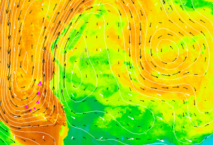
Satellite Remote Sensing
Earth observing satellites provide a uniquely efficient means of making repetitive observations automatically over vast areas of the world’s oceans. Although confined to the surface layer, over the past 30 years these observations have been a vital tool for both biological and physical oceanographers and have played a key role in advancing both sciences. Objective…
-
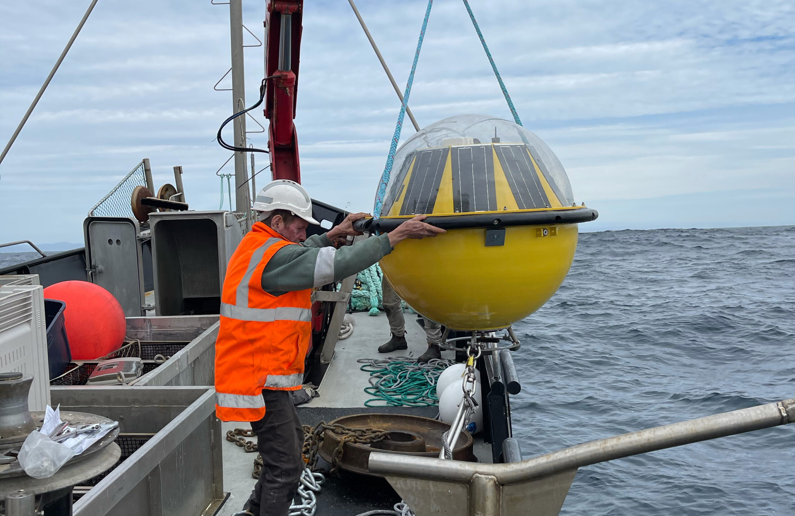
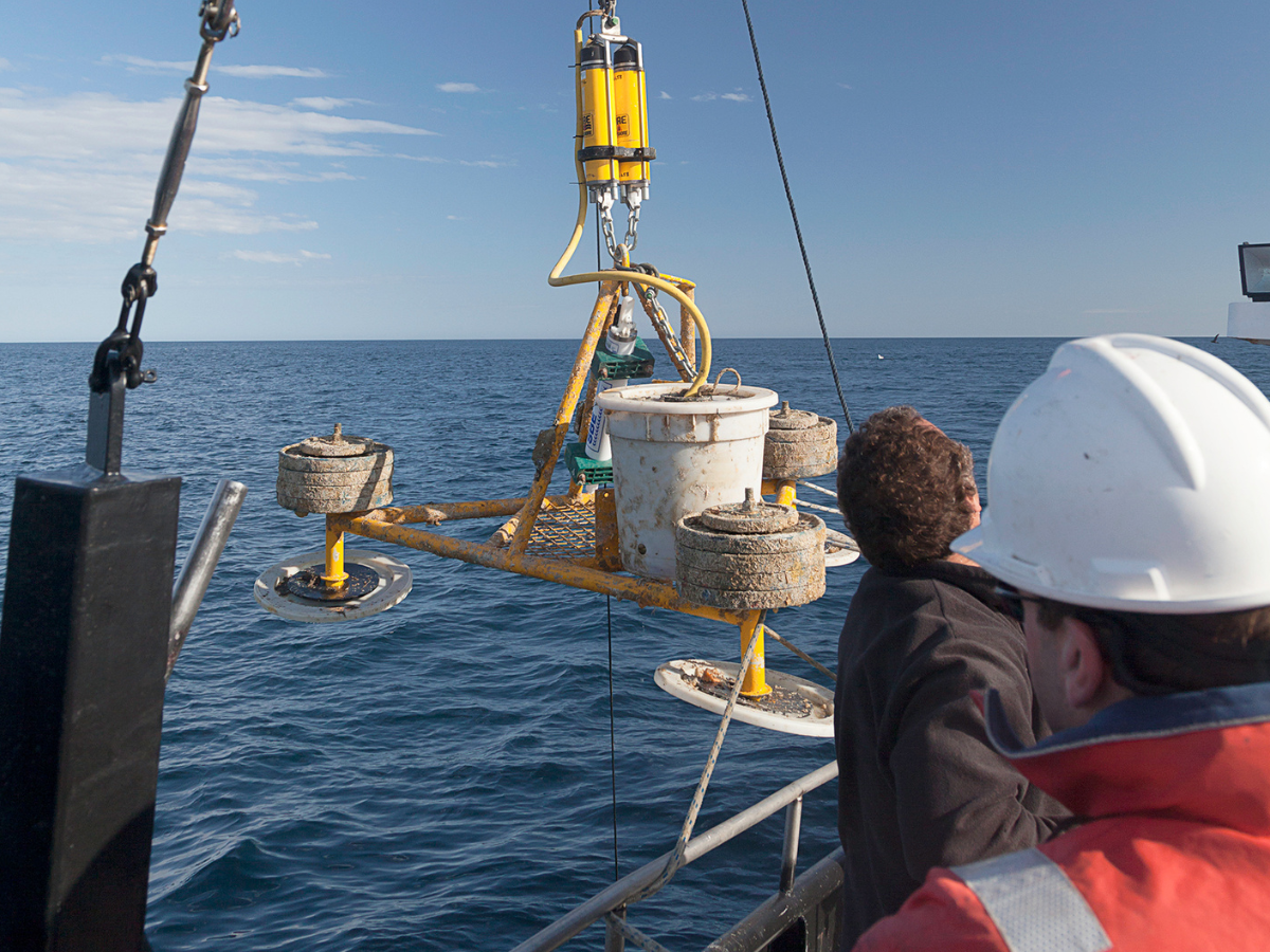
Wave Buoys
Wave Buoys are used to measure the state of the ocean surface, primarily wave height. Using accelerometers and internal gyroscopic systems, these Wave Buoys capture additional and important information including wave direction. The real-time measurements of these wave parameters play an important role in wave model development and verification, calibration and validation of new satellite…
-
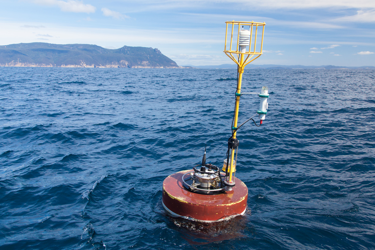
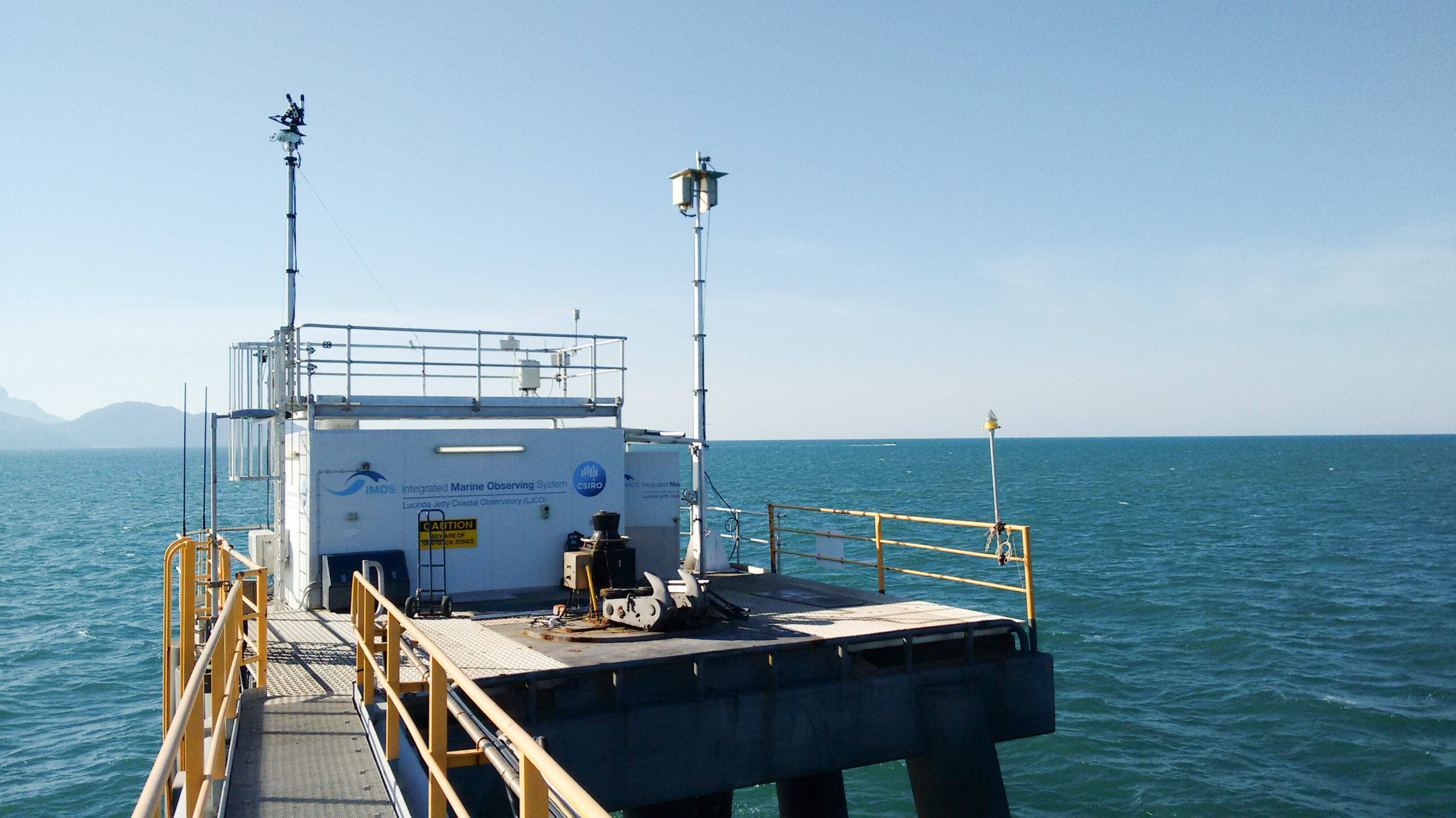
National Reference Stations
National Reference Stations provide fundamental baseline information used to understand how large-scale, long-term climate change and variability is affecting Australian coastal seas. In addition to the continuous monitoring of physical oceanic properties of the moorings, these sensor-based observations are combined with vessel-based biogeochemical sampling on a monthly basis (for most locations). Data Deployments A current…