
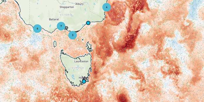
IMOS has launched an updated version of IMOS Live, introducing new data streams and additional layers from our near real time moorings.
With this release, users can track sea surface temperatures and anomalies via the IMOS AusTemp product, a revised suite of ocean heating indicators. Users can also display hourly temperature and salinity at different depths from the upgraded near real time moorings at Rottnest Island and Maria Island. The coastal wave buoy network has also expanded, now showing more than 75 stations across the Australian region.
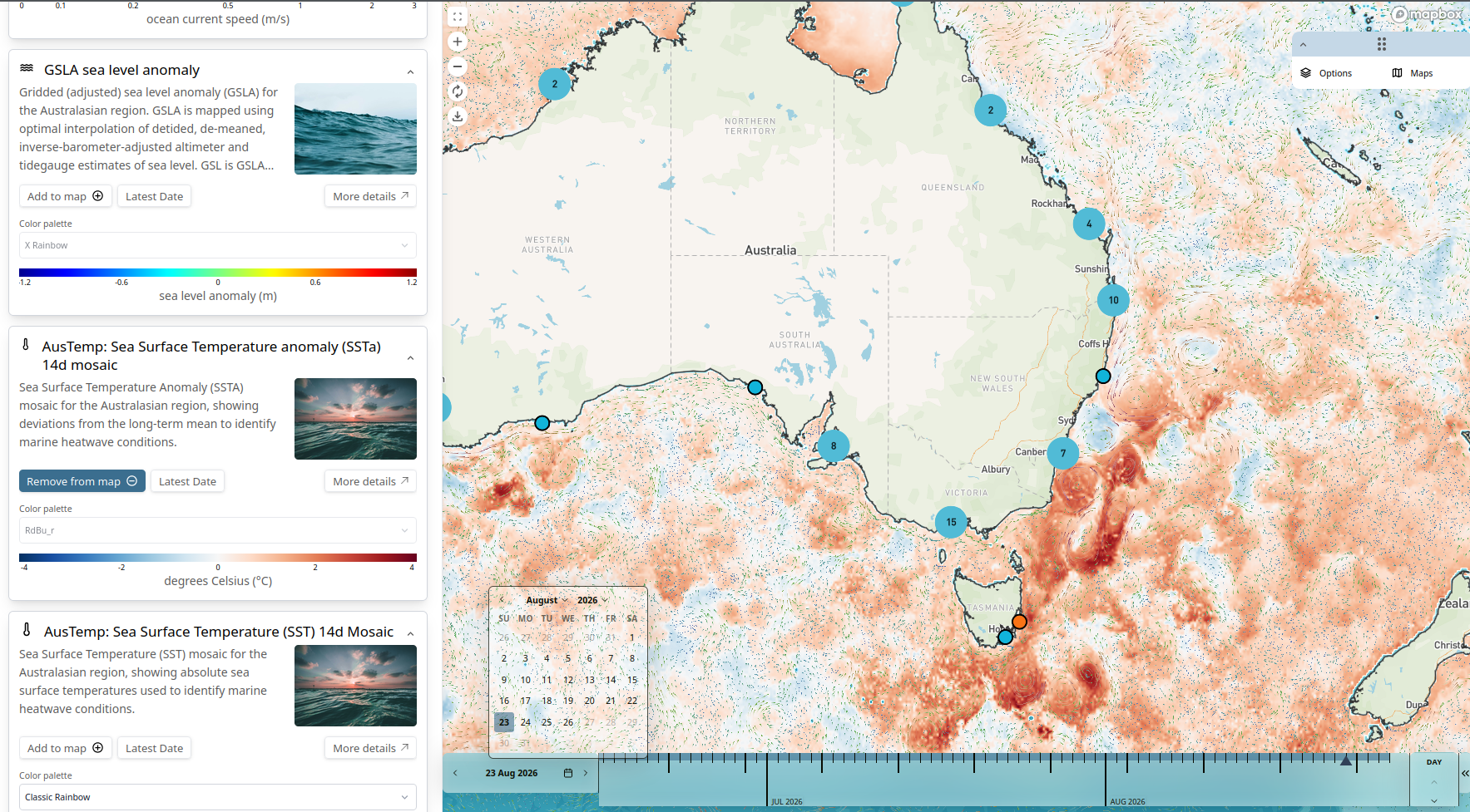
The core functionality of IMOS Live is to enable the simultaneous display of satellite spatial imagery alongside localised time-series datasets. This capability lets users to evaluate regional trends against high-resolution measurements obtained from wave sensors and fixed moorings. To support field activities, the interface has been upgraded for better small-screen compatibility, giving researchers and operators remote access to reliable oceanographic data while working on-site.
Both maps and time series charts are available for direct download, featuring integrated legends and frames to generate production-quality figures suitable for formal reporting or scientific publication.
These ongoing enhancements aim to provide a more comprehensive and accessible overview of the marine conditions surrounding Australia. With a more stable platform, IMOS will continue to incorporate additional data streams to improve the exploration and awareness of the Australian Ocean.