Understanding of Marine Imagery
Understanding of Marine Imagery
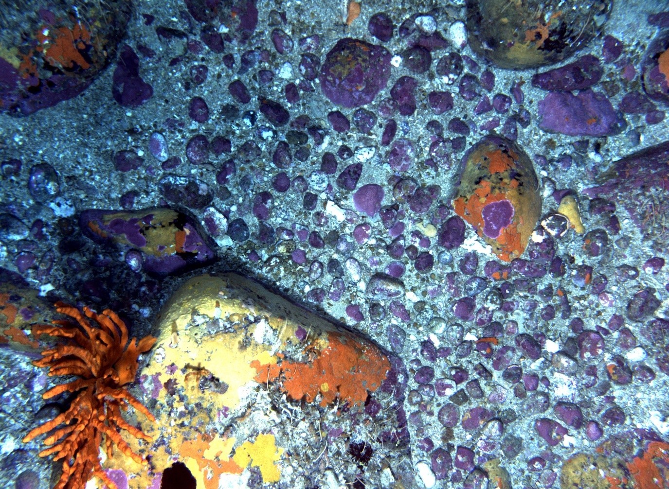
Understanding of Marine Imagery will establish a national repository for annotations of marine imagery, including those collected by IMOS Autonomous Underwater Vehicles. This repository will aid in the sharing of quantitative information and encourage consistencies in annotated labelling and providing tools for summarising and reporting on data relating to species and habitat distributions around Australia.
 IMAS
IMAS

Key data streams
Select a key data stream to view all IMOS Facilities that collect that data.
Useful information
Acknowledging IMOS
Users of IMOS data are required to clearly acknowledge the source material by including the following statement:
Australia’s Integrated Marine Observing System (IMOS) is enabled by the National Collaborative Research Infrastructure Strategy (NCRIS). It is operated by a consortium of institutions as an unincorporated joint venture, with the University of Tasmania as Lead Agent.


