Satellite Altimetry Calibration and Validation
Satellite Altimetry Calibration and Validation
Satellite-based altimeters provide fundamental, large scale observations of sea surface height contributing fundamental advances in our understanding of the ocean’s role in the Earth’s climate system. Understanding changes in mean sea level at global to regional scales is critical for understanding the response of the ocean to a warming climate – both through the thermal expansion of the ocean and the melting of mountain glaciers and polar ice caps. As with all scientific observations, validation of instrumentation is vital to ensure that measurements are accurate and reliable.

Locations
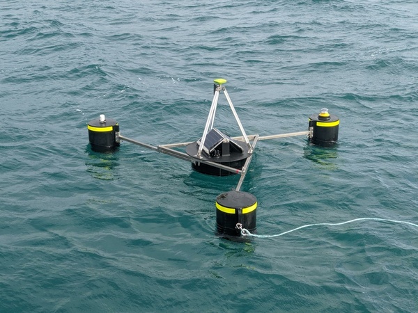
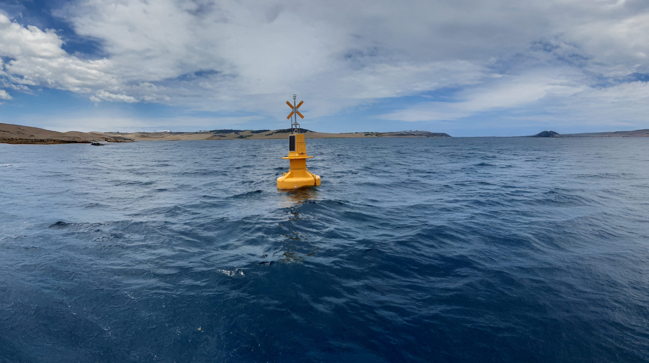
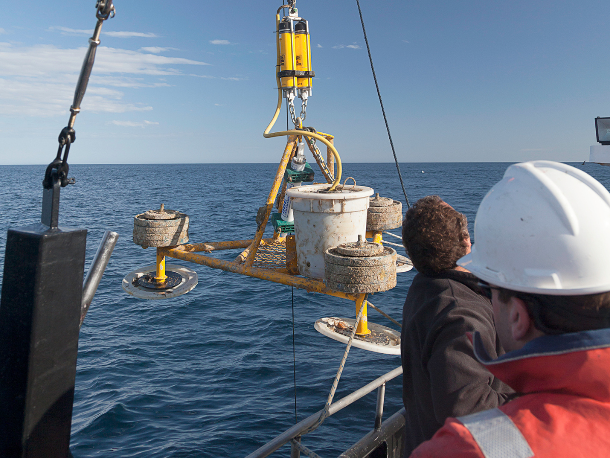
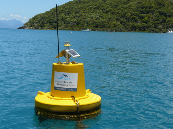
The IMOS Satellite Altimeter Calibration and Validation Sub-Facility maintains a suite of instrumentation in Bass Strait, providing the only southern hemisphere in situ calibration and validation site that has operated since the launch of the TOPEX/Poseidon mission in 1992. The facility uses GNSS equipped buoys on the ocean surface as well as an array of sub-surface moored oceanographic instrumentation that includes Current, Wave, Pressure Induced Echo Sounders (CWPIES).
Comparison
Data from this infrastructure is combined to derive a sustained sea level record that can be directly compared to altimeter measurements. These data provide important contributions to Ocean Surface Topography Science Team (OSTST) and other mission-specific validation teams. The key comparison includes the determination of the altimeter absolute bias, the difference between altimeter and in situ measurements in an absolute reference frame. Analysis of the absolute bias record over time helps ensure data produced from satellite altimeters are accurate and precise on a global scale.


Useful information
Operating institutes
University of Tasmania ∙ CSIRO ∙ Australian Institute of Marine Science
Co-investors
National Centre for Space Studies ∙ National Aeronautics and Space Administration


Acknowledging IMOS
Users of IMOS data are required to clearly acknowledge the source material by including the following statement:
Australia’s Integrated Marine Observing System (IMOS) is enabled by the National Collaborative Research Infrastructure Strategy (NCRIS). It is operated by a consortium of institutions as an unincorporated joint venture, with the University of Tasmania as Lead Agent.