Ocean Radar
Ocean Radar
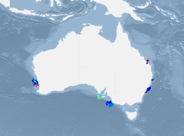
IMOS Ocean Radar provide maps of surface currents at the mesoscale (generally an area of 150 Km x 150 Km), that contribute to research into biological systems, ocean modelling, ocean circulation and provide a valuable tool in monitoring coastal currents.
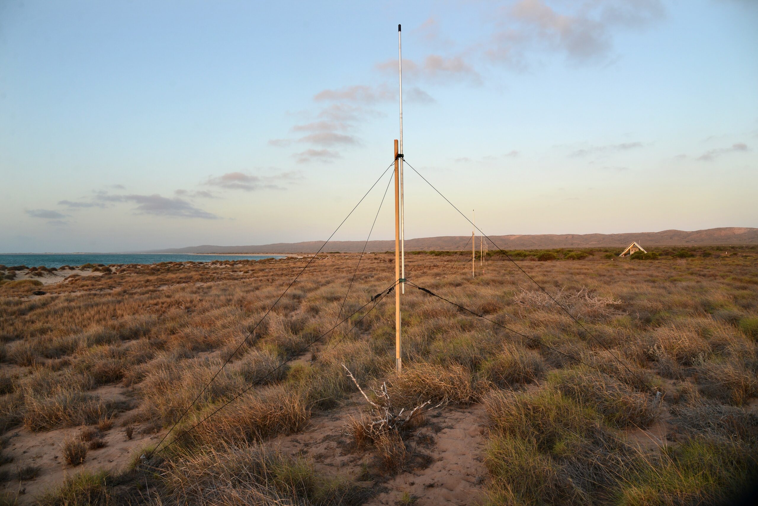
 Yasha Hetzel, UWA

Data
How it works
The Ocean Radar Facility currently uses two types of High-Frequency ocean radar: the phased array beam-forming technology (WERA), and the direction-finding technology (SeaSonde). Ocean Radar works by transmitting high-frequency radar signals out to sea from shore-based antennae which are scattered by the rough sea surface. A portion of the radar is backscattered, and Doppler shifted by the motion of the waves or wind and tidal movement. The radar receivers measure the Doppler spectrum and calculate current and wave information within the range of the radar system.
Why it’s important
Coastal currents play an important role in the distribution of heat, nutrients, larval dispersal, pollution transport and sediment redistribution. Until recently there was very little spatial data of Australian coastal currents, with direct measurements generally from single point moorings or ocean arrays.
Key data streams
Select a key data stream to view all IMOS Facilities that collect that data.
Useful information
Operating institution
Acknowledging IMOS
Users of IMOS data are required to clearly acknowledge the source material by including the following statement:
Australia’s Integrated Marine Observing System (IMOS) is enabled by the National Collaborative Research Infrastructure Strategy (NCRIS). It is operated by a consortium of institutions as an unincorporated joint venture, with the University of Tasmania as Lead Agent.
