National Reference Stations
National Reference Stations
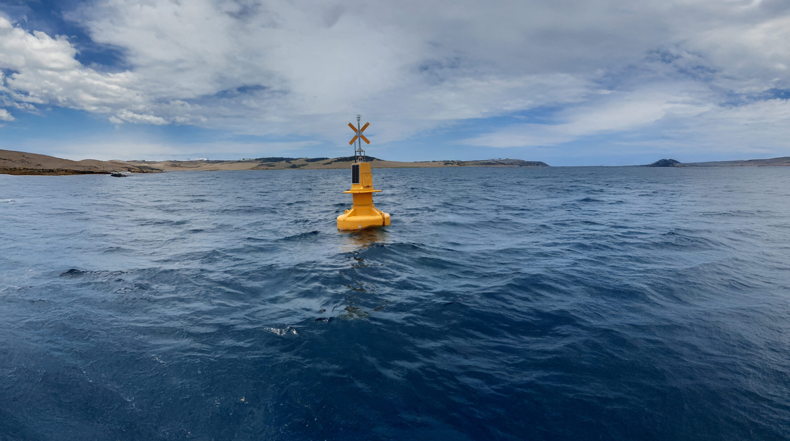
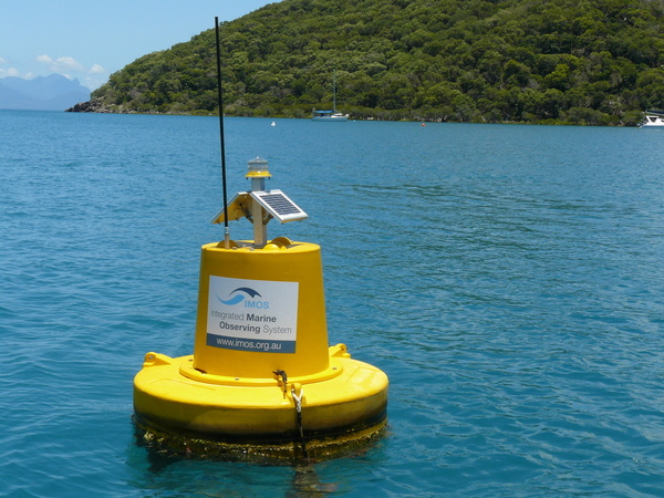
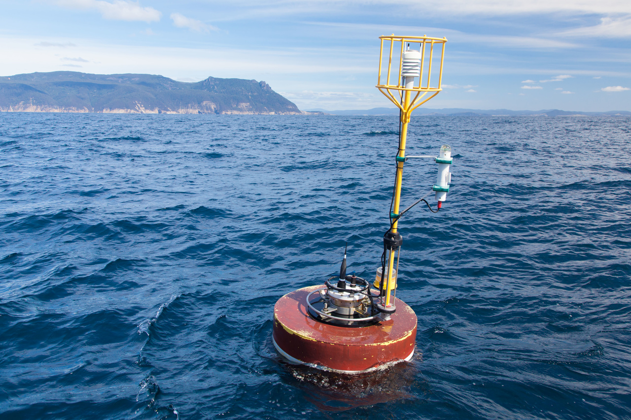
National Reference Stations provide fundamental baseline information used to understand how large-scale, long-term climate change and variability is affecting Australian coastal seas. In addition to the continuous monitoring of physical oceanic properties of the moorings, these sensor-based observations are combined with vessel-based biogeochemical sampling on a monthly basis (for most locations).
 Carlie Devine

Data

Deployments
A current network of eight National Reference Stations are currently in operation in Australian coastal waters, of which three are long-term locations, Maria Island (Tasmania), Port Hacking (New South Wales) and Rottnest Island (Western Australia). The remaining four National Reference stations, including Darwin (Northern Territory), Yongala (Great Barrier Reef), Kangaroo Island (South Australia), North Stradbroke Island (Queensland), and Bonney Coast (Victoria) are newer additions to the network of National Reference Stations, increasing the ability to monitor Australian coastal waters.
Key data streams
Select a key data stream to view all IMOS Facilities that collect that data.
Useful information
Instrumentation and data
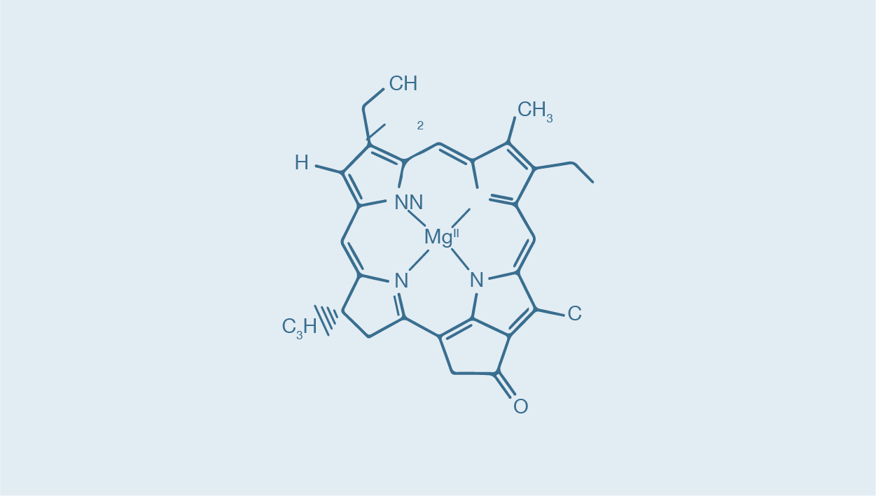
The National Reference Stations collect observations of both physical and biogeochemical variables to characterise the ocean environment and to understand fundamental biological processes within the environment. Core physical variables observed include temperature, salinity, dissolved oxygen, nutrients, turbidity, carbon, phytoplankton (both direct, and via an optical proxy for chlorophyll a), and zooplankton.
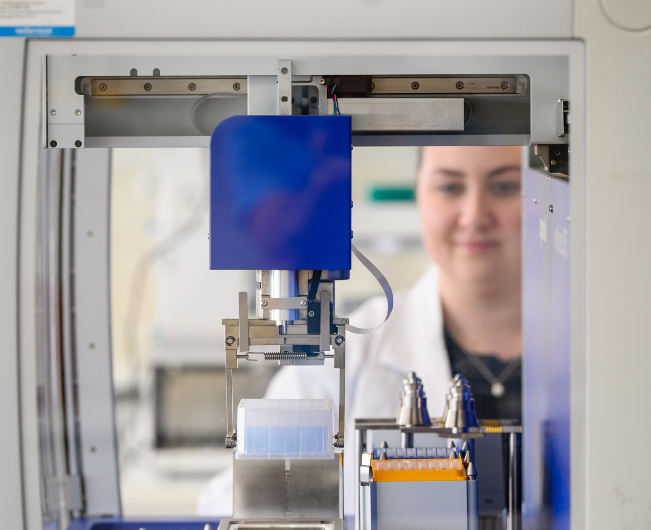
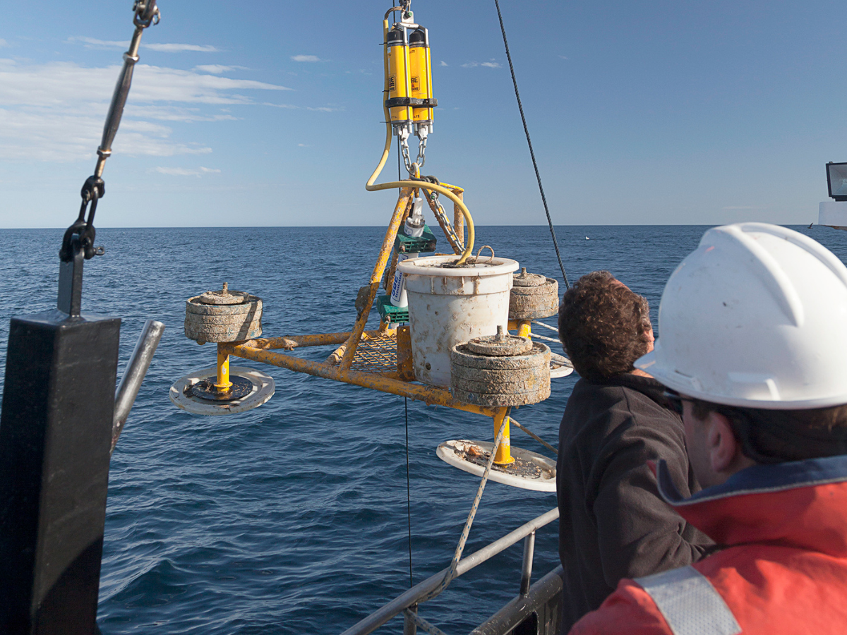
Understanding these variables necessitates observations at NRS sites being undertaken through the water column, from surface to seabed. Observations are sensor‐based and supplemented by vessel‐based biogeochemical sampling (and laboratory analysis) at minimum frequencies required to provide appropriate resolution for core variables.
As the resources required to sustain physical and biogeochemical observations over the long term are significant, the NRS Network consists of the minimum number of sites necessary to provide a national multi‐decadal baseline. At these timescales, ocean processes are operating at space scales in the thousands of square kilometres, and the IMOS NRS is hence a sparse network of well‐ instrumented, single‐point, reference sites, strategically positioned around Australia’s coastline.
Procedures
The latest version of the NRS Biogeochemical Manual is available here. For any comments relating to the manual, please contact Claire Davies claire.davies(at)csiro.au
Procedural guides referred to in the Biogeochemical Manual can be found here
Essential Ocean Variables / Essential Climate Variables
This sub-Facility contributes to 11 Essential Ocean Variables and 9 Essential Climate Variables.
EOVs: Inorganic carbon, Nutrients, Oxygen, Particulate matter, Phytoplankton biomass and diversity, Sea surface salinity, Sea surface salinity, Subsurface currents, Subsurface salinity, Subsurface temperature, Zooplankton biomass and diversity
ECVs: Inorganic carbon, Nutrients, Oxygen, Plankton, Sea surface salinity, Sea surface temperature, Subsurface currents, Subsurface salinity, Subsurface temperature
Contact
David Hughes
E: David.Hughes(at)csiro.au
Operating institution
Subscribe to our newsletter
Facility updates, new data streams, user resources, impact stories, and research findings direct to your inbox.
Explore Facilities
Acknowledging IMOS
Users of IMOS data are required to clearly acknowledge the source material by including the following statement:
Australia’s Integrated Marine Observing System (IMOS) is enabled by the National Collaborative Research Infrastructure Strategy (NCRIS). It is operated by a consortium of institutions as an unincorporated joint venture, with the University of Tasmania as Lead Agent.
