
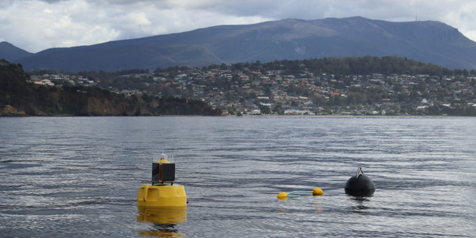
Two new IMOS Estuarine and Coastal Moorings have been deployed in the south-east of Tasmania, to cover critical spatial and observational gaps in long-term, high frequency water quality monitoring in this area. The Tasmanian moorings form part of a coordinated network of water quality observations across Australia’s coastal and estuarine environments.
Built and deployed by CSIRO, Australia’s national science agency, the new moorings will provide near-real-time observations of key water quality parameters, including temperature, salinity, chlorophyll-a, dissolved oxygen and turbidity. The data will help build a consistent baseline for understanding changes in water quality and the pressures affecting coastal environments.
Both moorings are located in critical transition zones, where the estuary meets the ocean, subject to impacts from both the catchments including river discharge and anthropogenic disturbance, and from larger oceanographic processes including tidal cycles, ocean warming and acidification.
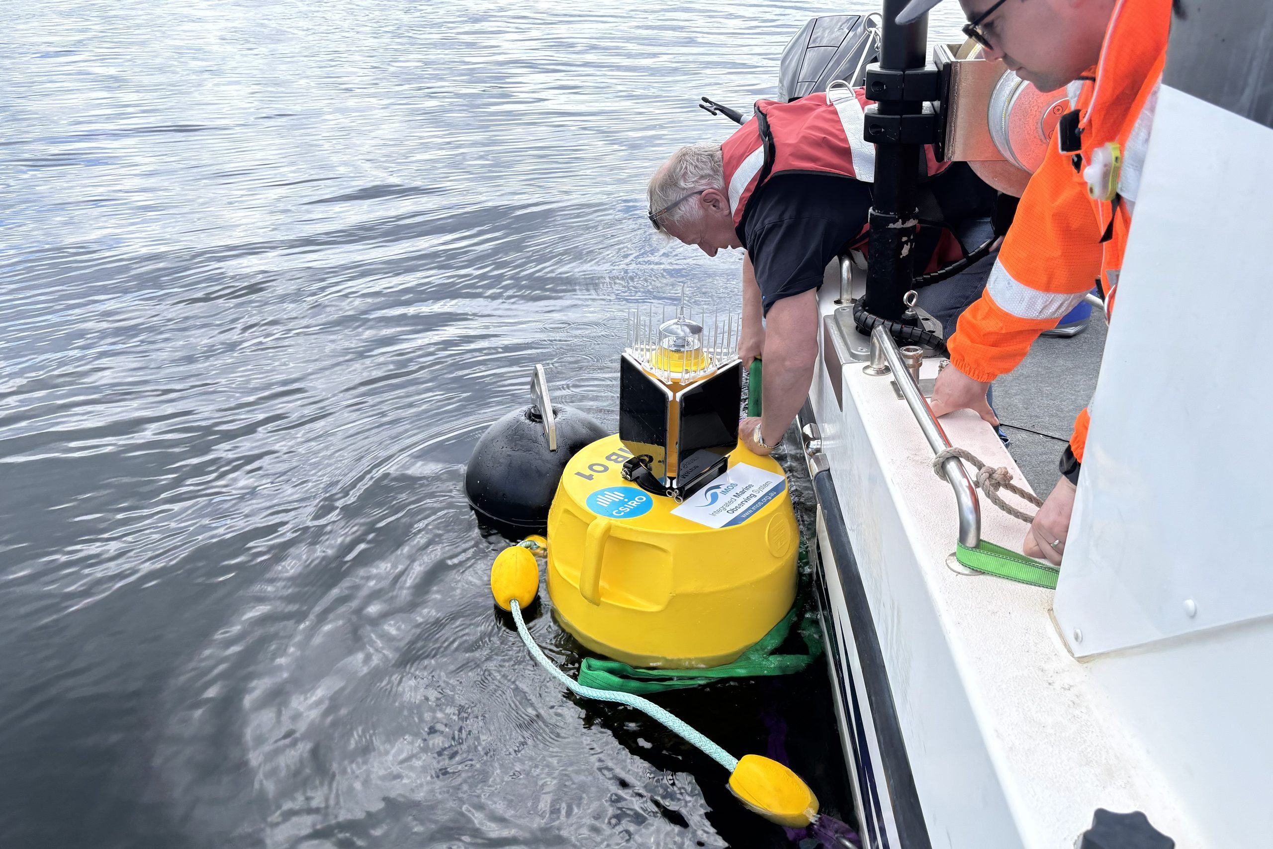
The first mooring is located in the Derwent Estuary, Tasmania’s largest estuary with 40% of the population living along its shores, using it for recreation, boating, fishing, and transport. Supporting ecologically significant habitats likes rocky reefs, as well as hosting major industries, general shipping and port activities.
The mooring at the Derwent Estuary Site B1 (near Blackmans Bay) is a long-term fixed monitoring site of the Derwent Estuary Program’s Ambient Water Quality Monitoring Program, with data collected monthly since 2003. In a first for Tasmania, CSIRO deployed the new mooring at this site by helicopter to pioneer this innovative method for future use, including for deploying moorings in remote locations.
“The new mooring will provide continuous, real-time water quality data, capturing short-term fluctuations and environmental events that can be missed by traditional monthly sampling programs. This high-frequency monitoring will significantly improve our understanding of estuary processes and changing conditions. Importantly, the mooring data will be complemented by the DEP’s long-term monitoring program, with ongoing field sampling providing validation of the analyser data.”
Ursula Taylor, Derwent Estuary Program (DEP) CEO
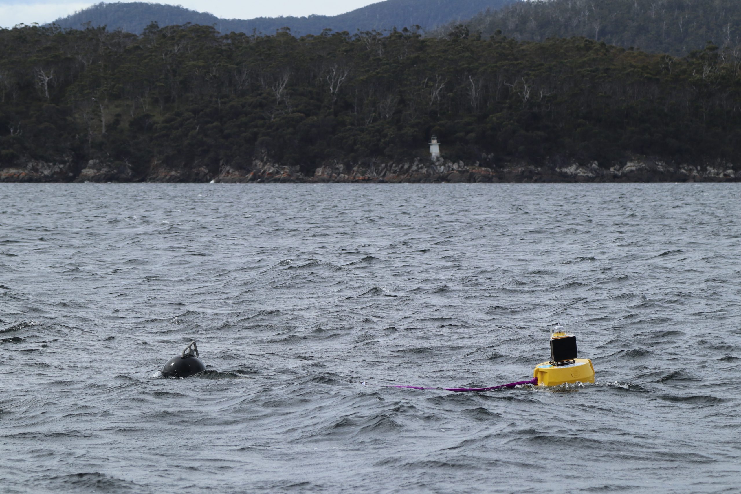
The second mooring is located in the D’Entrecasteaux Channel at the mouth of the Huon Estuary. This location is considered a priority site for monitoring water quality conditions to understand it’s complex dynamics, the impact of human activities and inform waterway management. The Huon Estuary is characterised by significant freshwater inflow which is crucial to the region’s ecology and aquaculture activities.
The D’Entrcasteaux Channel mooring is also situated in an area considered a climate change “hot spot” and proximal to significant aquaculture, recreational fisheries and recreational boating activities.
“The publicly available near real-time data will support rapid and informed decision-making for environmental managers and industry. With the potential to inform stakeholders in real time of potential environmental threats, such as marine heat waves or harmful algal bloom conditions,” says Dr Jodie van de Kamp, CSIRO Research Scientistand IMOS Estuarine and Coastal Moorings sub-Facility Leader for Tasmania.
The Tasmanian moorings are part of the national IMOS Estuarine and Coastal Moorings Facility, led by the South Australian Research and Development Institute (SARDI). The facility is establishing a coordinated network of moorings in shallow coastal and estuarine waters, providing standardised, near-real-time observations in environments where conditions can change rapidly.
The network measures core water quality variables across sites, with data integrated with existing IMOS observations and, where possible, information collected by state agencies, industry and other stakeholders. This coordinated approach is designed to improve spatial coverage and provide consistent data to support research, environmental management and decision-making.
The IMOS Estuarine and Coastal Moorings Facility is a key investment of the Coastal Research Infrastructure (CoastRI) initiative. CoastRI, is a national initiative under Australia’s National Collaborative Research Infrastructure Strategy (NCRIS) and is coordinated across 13 NCRIS capabilities. CoastRI aims to establish a coordinated, national-scale coastal observing and modelling capability to address the challenges posed by rapid coastal changes. “By supporting the IMOS Estuarine and Coastal Moorings Facility, CoastRI is enabling unprecedented access to high-quality, sustained water-quality observations. These data are essential for detecting changes in coastal and estuarine conditions, providing early warning of emerging water-quality issues, and supporting better management of the ecosystems and communities that depend on our dynamic coastal zone,” said Professor Daniel Ierodiaconou, Lead Scientist for CoastRI.
Header image: Derwent Mooring, Credit Shaun Brooks, CSIRO