
Region: Victoria
-

IMOS Coastal Wave Buoys – Western Australia
IMOS Coastal Wave Buoys Western Australia will deploy a network of wave buoys to provide continuous, real-time observations of waves and temperature in coastal regions. These observations are essential for monitoring, predicting, and forecasting coastal hazards that affect communities, infrastructure, and marine operations, as well as for understanding the impacts of extreme events and long-term…
-
Coastal Wave Buoys
The national IMOS Coastal Wave Buoys Facility provides data essential for understanding the processes and changes driven by waves and temperature in coastal zones. Data collection The moored wave buoys will deliver near-real-time wave and temperature observations around the Australian coast. The data will be used in the development and improvement of models used to…
-
Marine Microplastics
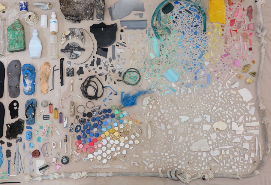
Marine microdebris is comprised of anthropogenic solid waste, specially microplastics, smaller than 5mm in length, indivertibly or intentionally disposed in marine environments. Their ubiquitous presence and levels are predicted to increase. The IMOS Marine Microplastics sub-Facility has been established to assess temporal and spatial variations of this contamination to better inform environmental management and policy.…
-
Microbial Coastal Sampling
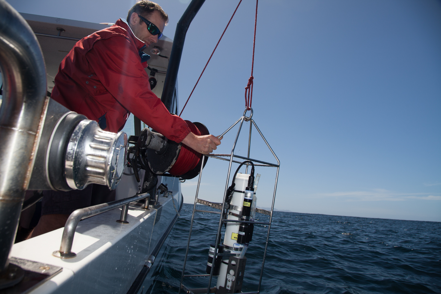
IMOS Coast Sampling provides a network of coastal microbial observatories located in coastal water of the Great Barrier Reef (Queensland), Botany Bay (New South Wales), and Port Philip Bay (Victoria). Why it’s important Coastal environments are highly dynamic, influenced by both natural processes and anthropogenic activity and represent locations in which environmental microbial and planktonic…
-
Surface Waves
Surface Waves provides oceanic wave data and wave products using satellite remote sensing. The key aims of Surface Waves is to calibrate and distribute surface ocean wave data from both current and next-generation satellite missions, supporting ongoing and emerging research and industry and service operations in Australia. The efficiency of and high-quality data produced by…
-
Remote Sensing Collections
Remote Sensing Collections is a data management activity, developed to improve access to satellite remote sensed marine products and as such does not directly deploy instruments. The primary focus of Remote Sensing Collections is sea surface temperature and ocean colour products, but also assists the other Satellite Remote Sensing sub-Facilities, facilitating data availability and facilitate…