The IMOS ocean radar at Ningaloo provides a way to monitor the Ningaloo Current and interactions with the Leeuwin Current in the region.
The corals of the Ningaloo Reef, between Point Coates and North-West Cape in the North-West of Western Australia have historically been spared from damaging coral bleaching events despite the last three years of La Niña conditions causing elevated water temperatures in the region. This can be attributed to wind-driven upwelling and northward transport of cooler water along the continental shelf— the Ningaloo Current. When southerly winds blow strongly over several days the Ningaloo Current forms north of Shark Bay and extends along the shelf past Northwest Cape. Satellite data indicate that the Ningaloo region may experience ~140 upwelling days per year corresponding to periods when the Ningaloo current is active.
The Ningaloo current is easily identifiable in satellite SST images as a band of cooler water along the continental shelf (see figure at right). Limited current velocity measurements have been available through oceanographic shipborne surveys, and by the IMOS mooring offshore Tantabiddi.
In 2021, the IMOS Ocean Radar Facility installed a new High Frequency (HF) ocean Radar system at Ningaloo, providing a valuable new tool to monitor the Ningaloo Current and interactions with the Leeuwin Current that forms in this region. Recent HF Radar data clearly showed the Ningaloo Current flowing northwards on 17th of February 2023 (see figure at right). Water within the current was 2-3 degrees Celsius cooler than offshore with the equatorward surface current flow extending up to 100 km off the coast with speeds up to ~0.4 m s-1. The warmer water offshore is associated with the Leeuwin current.
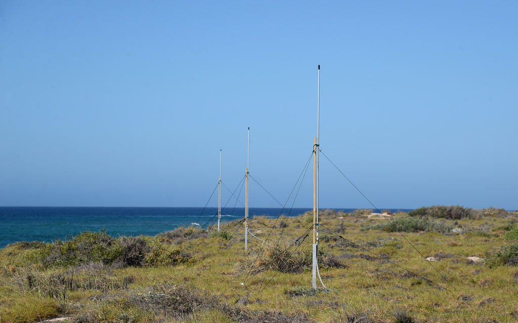
The North-West Australia Ocean Radar system consists of a pair of sites with solar powered WERA phased array of shore-based antennae located at the Jurabi Turtle Centre near the NW Cape, and at Point Billie, near the southern end of the Ningaloo peninsula. The system provides hourly surface current measurements in near real time on a ~7km grid up to 150 km from shore, with the data available on the Australian Ocean Data Network (AODN).