Category: Satellite Remote Sensing
-
Food Security: how IMOS data contributes to the management of our valuable marine resources
This is the first in a series of IMOS Impact Case Studies, available for download from the IMOS website.
-

IMOS multi-satellite sea surface temperature (SST) composite products have been updated
The Bureau of Meteorology have reprocessed the products adding a further six years of data
-
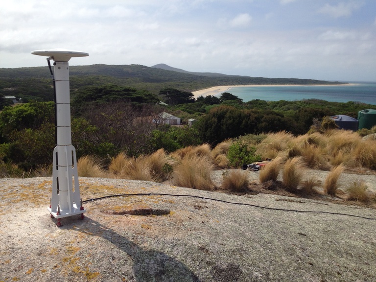
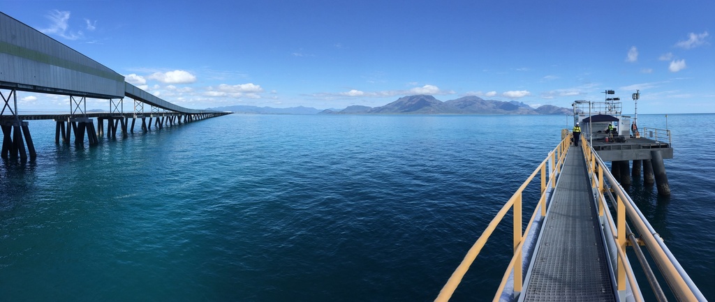
Preparations continue for the Surface Water and Ocean Topography (SWOT) mission
The IMOS Satellite Altimetry Calibration and Validation sub-Facility have been selected to be part of the global SWOT Science Team.
-
Keeping pace with marine heatwaves
A new paper outlines the need for predicting marine heatwaves and highlights how IMOS is monitoring heatwaves in real time as they develop with ocean gliders.
-

New Synthetic Aperture Radar Waves database available through the AODN Portal
The IMOS Surface Waves sub-Facility has developed an Australian Synthetic Aperture Radar (SAR) waves database from Europe’s Sentinel-1 A and B SAR satellites to support scientific and industrial marine research in Australia.
-
International project uses IMOS data to develop and validate a new tool for satellite ocean colour data
Measuring the colour of the oceans is crucial for understanding marine ecosystems, their productivity and health.