This is the second in a series of IMOS Impact Case Studies, available for download from the IMOS website.
The IMOS Impact Case Studies showcase the benefits derived from investment in national research infrastructure.
The series will demonstrate how IMOS observations are used by marine and climate scientists, forecasters, and marine industries whose research and product development deliver benefit to Australian and global communities.
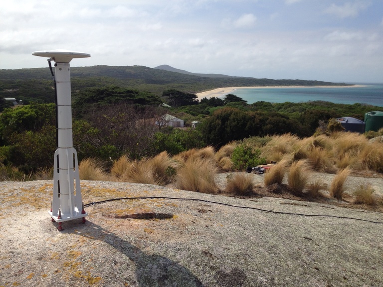
This case study focuses on IMOS and space. Through our Satellite Remote Sensing Facility, IMOS data collection and delivery includes sea surface temperature, altimetry (ocean height), ocean colour, surface waves, and wind speed and direction. IMOS capability, which works to calibrate and validate observations in situ, is critical to international space missions such as PACE, SWOT and Sentinel-6
IMOS’ satellite remote sensing data support an increasing number of research papers and projects, the applications of which span:
- the improvement of operational models for vessel navigational safety and efficiency;
- understanding extreme events in the Pacific; and
- monitoring and management of the Great Barrier Reef World Heritage Area.