
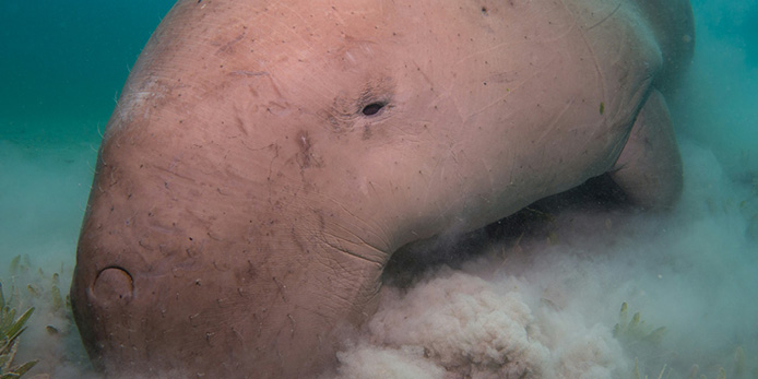
Dugongs (Dugong dugon) are an iconic marine species, and long-term monitoring plays an important role in understanding population trends and supporting marine conservation and management.
As part of the National Environmental Science Program (NESP) Marine and Coastal Hub Project 5.9, IMOS AODN data engineers have developed a new assessment-ready dugong dataset, bringing together observations collected by James Cook University (JCU) from systematic aerial surveys conducted along the Australian coast since 1984.
The updated dataset extends earlier releases by incorporating surveys completed through to 2023. Historical Dugong Data Management System records and JCU geospatial survey datasets have been harmonised into a standardised, occurrence-based format aligned with Darwin Core conventions.
The collection spans nine regions across Australia’s coastline, including Shark Bay, Exmouth, the Pilbara, Gulf of Carpentaria, Torres Strait, the northern and southern Great Barrier Reef, Hervey Bay and Moreton Bay. Each survey is represented by a unique survey identifier, with occurrence records generated from individual dugong sightings.
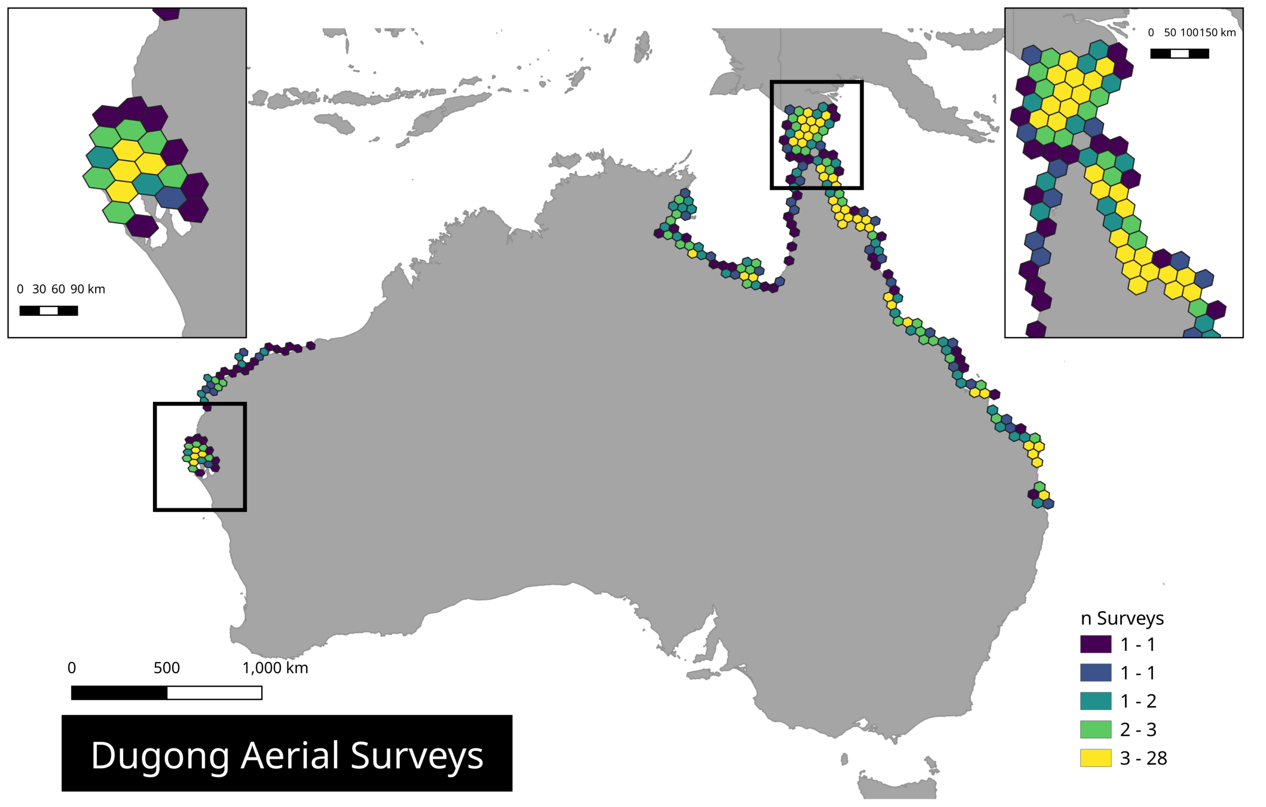
To support environmental assessment and marine management, the dataset has been enriched with Australian Marine Regions classifications, enabling direct alignment with national reporting and management boundaries. An H3 spatial index has also been applied, supporting efficient spatial aggregation and analysis across multiple scales.
The full metadata record is available through the AODN Portal, where users can explore the collection and subset the data using spatial and temporal filters. For advanced users, the cloud-optimised dataset can also be accessed directly through IMOS cloud storage (s3://aodn-cloud-optimised/aggregated_dugong_nonqc.parquet/). A Python notebook is available through the IMOS User Code Library demonstrating how to connect to and analyse the data. Source code is available here.