Western Australia Moorings
Western Australia Moorings
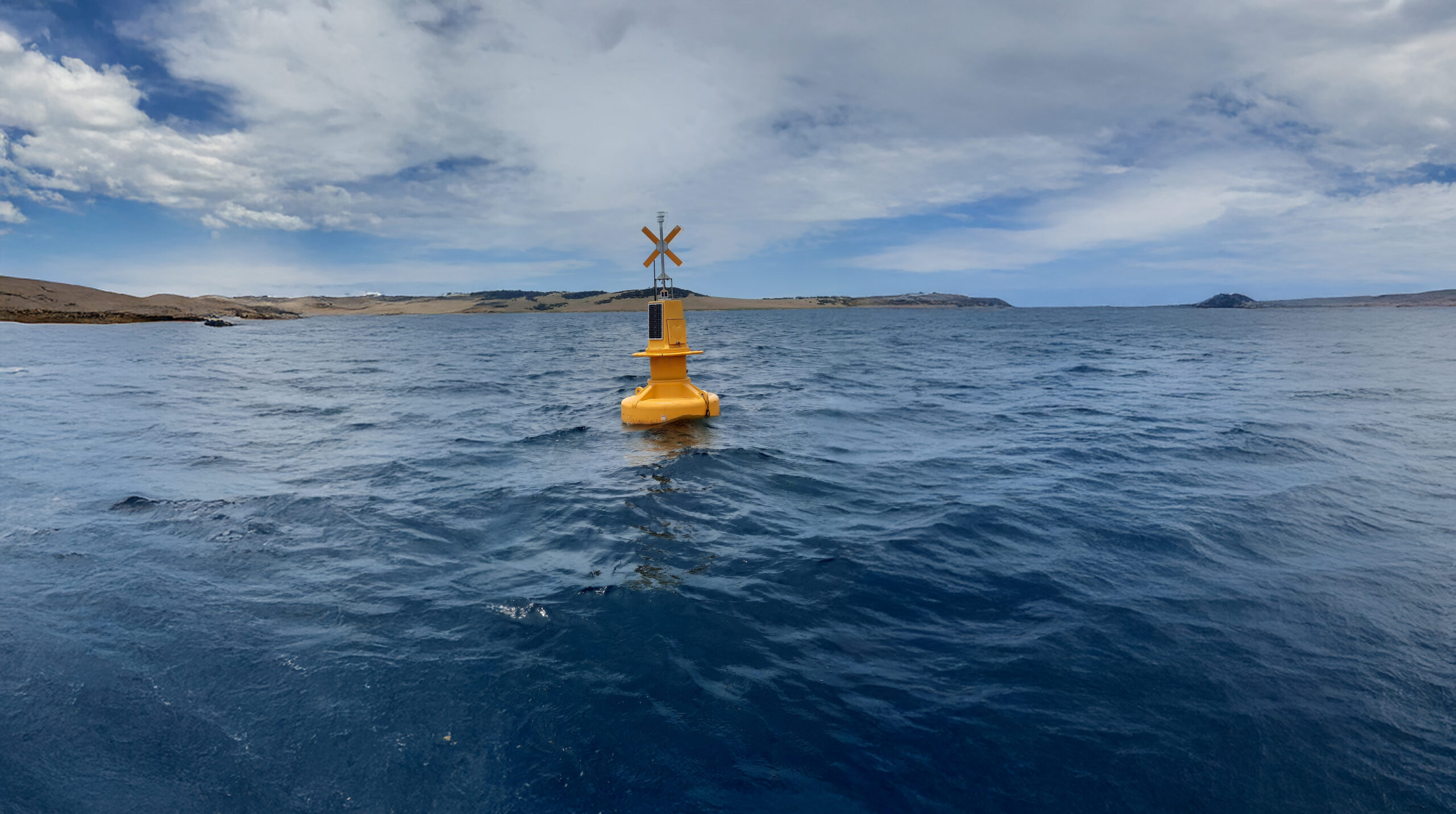
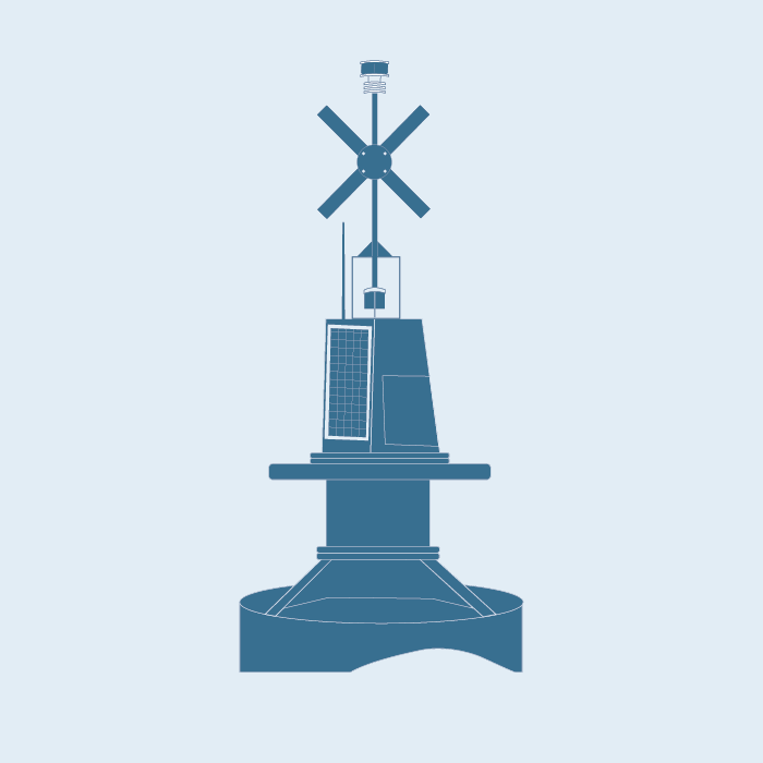
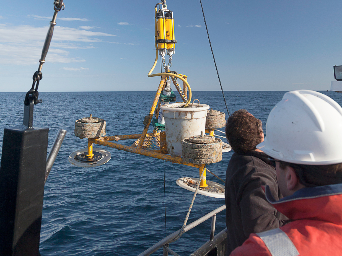
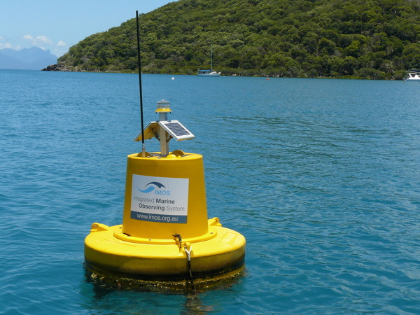
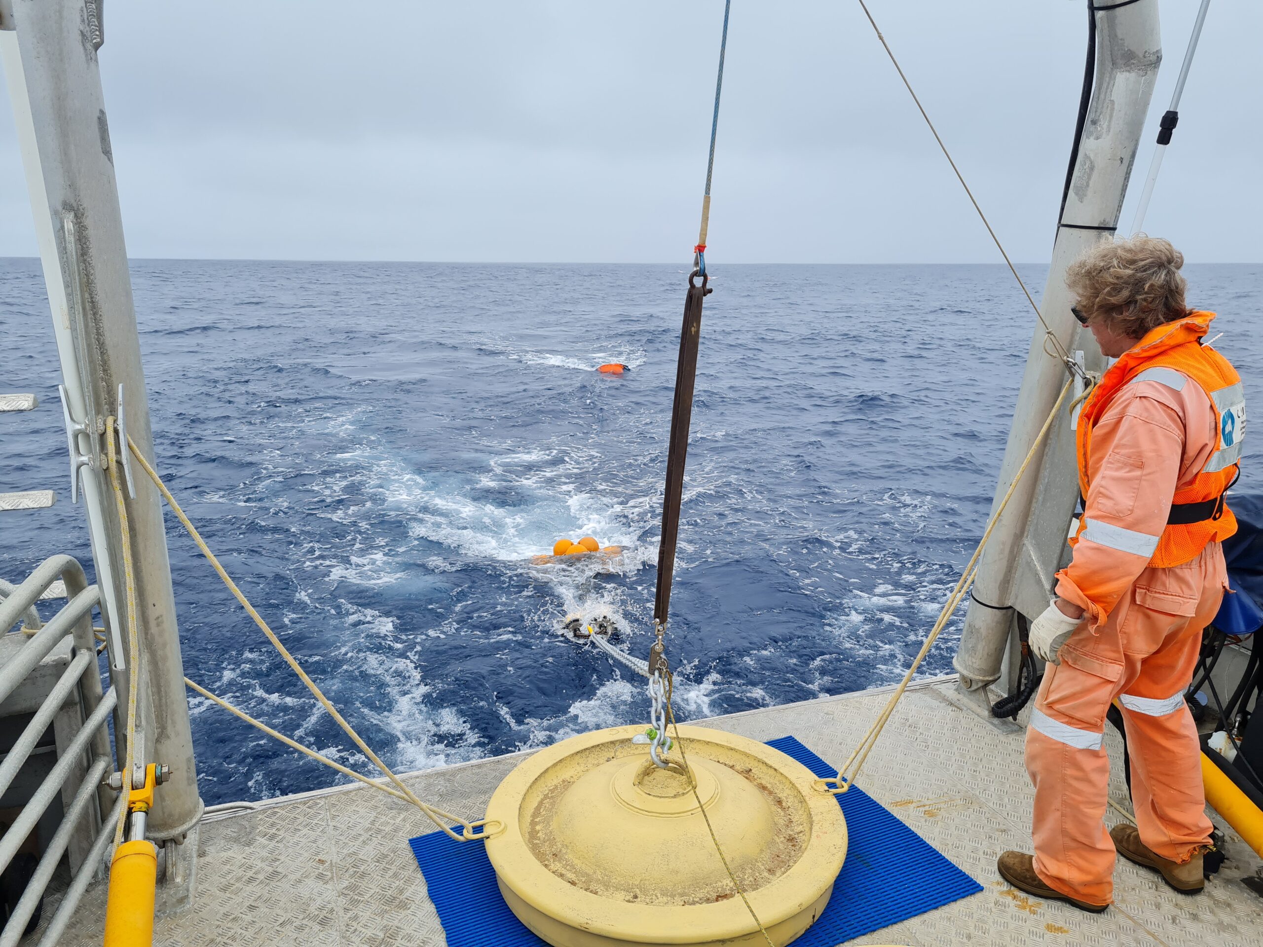
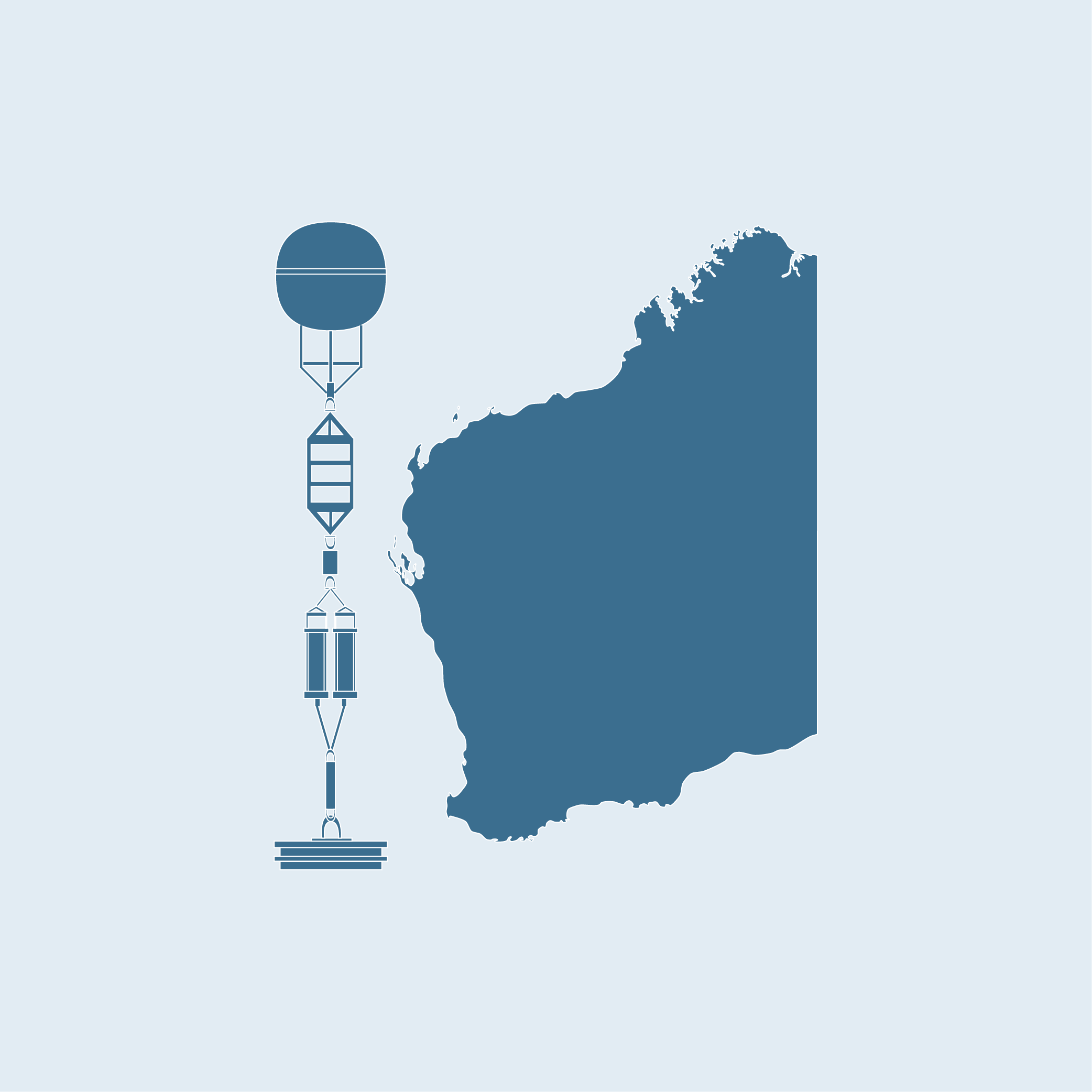
Western Australia Moorings is a collection of shelf mooring designed to monitor the major oceanographic features in the southern west coast of Australia. The mooring arrays are strategically located to monitor coastal upwelling and the structure and variability of the Leeuwin Current in the south west of Australia. Moorings are currently located off Two Rocks and the Perth Canyon, the largest underwater canyon in Australia and a major oceanographic feature of the region.
 Snell De Groot
Data
Data
The location of Western Australia Moorings overlaps with Ocean Radar coverage off Perth and are also co-located with regular Ocean Glider missions. The cross-validation of the different data streams of these IMOS sub-Facilities provides an in-depth understanding of the regions oceanographic and coastal processes and the important interactions between the Leeuwin Current and the wind-driven Capes Current and their associated eddy fields.
Historical deployment
The historical deployment of an Acoustic Observatory in the Perth Canyon provides baseline data on ambient oceanic noise, presence of fish and mammals of this important feature of the ocean floor and its role in oceanic productivity of the region. The maintenance of the Rottnest Island National Reference Station by Western Australia Moorings, in addition to the shelf moorings provides valuable information on the south-west region of Australia’s ocean.
Key data streams
Select a key data stream to view all IMOS Facilities that collect that data.
Useful information
Operating institution
Acknowledging IMOS
Users of IMOS data are required to clearly acknowledge the source material by including the following statement:
Australia’s Integrated Marine Observing System (IMOS) is enabled by the National Collaborative Research Infrastructure Strategy (NCRIS). It is operated by a consortium of institutions as an unincorporated joint venture, with the University of Tasmania as Lead Agent.

